What is recorded here
Fairy fort in Corrakeeran is a grass-covered ringfort on a ridge in County Meath, with an earthen bank, outer ditch and a narrow entrance at the south-east. People may have lived there, excluded others or simply marked the land before written memory began. The name suggests later belief that the place belonged to unseen residents rather than ordinary neighbours.
Located on a rise towards the E end of an E-W ridge and just E of the summit. This is a subcircular grass and rush-covered area (dims 42m WNW-ESE; 35m NNE-SSW) that slopes down to the E (H 1.3m) which is defined by an earthen bank (Wth of base 6-7m; int. H 1.3-1.6m; ext. H 2.6m) and hedge with an outer fosse (Wth of top 7-10m; Wth of base 2m; ext. D 0.3m) at E to 0.9m at W. The entrance (Wth of base 1.7m) and causeway (Wth of top 3.9m; H 0.2m) are at SSE, but there are other gaps at WNW and SE. There is a short length of an outer bank (L 9m; Wth of base 3.3m; int. H 1.5m; ext. H 0.9m) at N. Rath (ME002-011----) is c. 180m to the W.
The above description is derived from the published 'Archaeological Inventory of County Meath' (Dublin: Stationery Office, 1987). In certain instances the entries have been revised and updated in the light of recent research.
Compiled by: Michael Moore
Date of revision: 31 August 2018
Amended: 14 December 2022
The monument record does not grant public access. Check the route and ask the landowner before entering private land.
- What survives
- Recorded monument
Places near here
 The CurraghWood · 491 yd
 Church of the Immaculate Conceptionchurch/chapel · 1179 yd
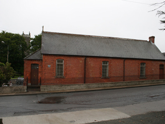 Kingscourt Parochial Hallchurch hall/parish hall · 1226 yd
 Cross in EnniskeenCross · 1372 yd
 ToberarneyHoly well · 1693 yd
 CabraMountain / peak · 1.5 mi
 Dún a Rí Forest ParkForest · 1.7 mi
 Castle ruinsCastle, unclassified · 1.8 mi
 In Memory of Our DadMemorial · 1.8 mi
 Natural Play AreaMemorial · 1.9 mi
 Castle in ruinsCastle, unclassified · 2.2 mi
 BarleyhillMountain / peak · 2.4 mi