What is recorded here
Situated on top of a N-S drumlin ridge. This is a grass-covered circular area (diam. 30.5m N-S; 28.4m E-W) defined by an overgrown flat-bottomed fosse (Wth of top 4.8-8m; Wth of base 1.45-2m; int. D 1.3-1.9m; ext. D 1.4mW-N-E to 2.1m at S) and an overgrown outer bank (Wth of base 4.5-7m; ext. H 0.7m at E to 1.65m at W). A low rise at S around the perimeter of the platform suggests that it may have had an inner bank, but the original entrance is not identified.
The above description is derived from 'The Archaeological Inventory of County Leitrim' compiled by Michael J. Moore (Dublin: Stationery Office, 2003). In certain instances the entries have been revised and updated in the light of recent research.
Compiled by: Michael Moore
Date of upload: 23 September 2008
Amended: 6 December 2019
The monument record does not grant public access. Check the route and ask the landowner before entering private land.
- What survives
- Recorded monument
Places near here
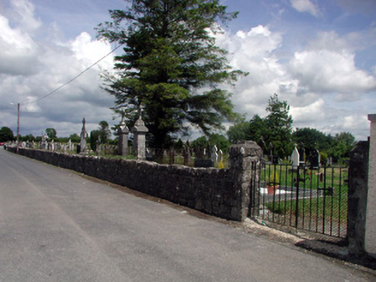 graveyard/cemeterygraveyard/cemetery · 1130 yd
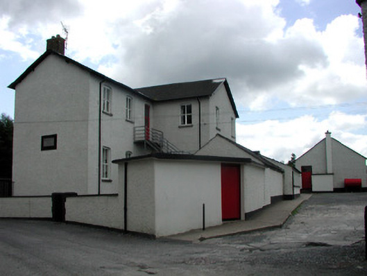 Saint Joseph's National Schoolschool · 1199 yd
 indicatedBawn · 1440 yd
 Tober RonanHoly well · 1462 yd
 Ch. on site of AbbeyChurch · 1527 yd
 Turlough O'Carolan MonumentHeritage attraction · 1528 yd
 Giant's GraveArchaeological place · 2.4 mi
 Little IslandIslet · 2.7 mi
 Duck IslandIslet · 2.7 mi
 Lawson's CypressLawson's Cypress · 2.7 mi
 TuliptreeTuliptree · 2.7 mi
 CastleCastle, tower house · 2.9 mi