What is recorded here
Wright's Wood hides a thirty-two metre circular scar on a high hill, marked only by a faint half-metre bank and no visible entrance. The shape suggests humans lived there, yet the absence of a gate denies them easy entry. It is the kind of place where memory collapses, forcing you to walk around in circles because the center refuses to be found.
Situated at the crest of a high hill, and in the centre of Wright's Wood. This is a slightly raised circular area (diam. c. 32m N-S; 32m E-W) defined by a low earthen bank (H c. 0.5m) or by a scarp. There is no visible evidence of a fosse or entrance. (CRDS 1998, 33)
Date of upload: 14 April 2011
The monument record does not grant public access. Check the route and ask the landowner before entering private land.
- What survives
- Recorded monument
Places near here
 Burnt mound in Cornecassa DemesneBurnt mound · 572 yd
 Cortolvin ForestWood · 598 yd
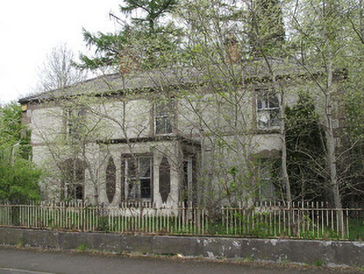 Shanherehouse · 705 yd
 Enclosure in Cornecassa DemesneEnclosure · 706 yd
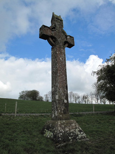 Cornecassa Housemonument · 735 yd
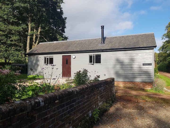 Gamekeeper's WoodForest · 896 yd
 Banba GiantHeritage attraction · 1396 yd
 Roddy-Den-Drum GiantHeritage attraction · 1.1 mi
 Bawn in Roosky (monaghan By., Monaghan Par.)Bawn · 1.2 mi
 Rossmore MonumentMemorial · 1.2 mi
 Rough HillMountain / peak · 2.7 mi
 Castleshane WaterfallWaterfall · 4.7 mi