
What is recorded here
Located to the tip of a low W-E spur and on land that was once part of the demesne of Cornacassa House. A small circular, grass-covered enclosure (diam. c. 30m N-S) that is probably a slightly raised platform is visible on Google Earth (16/11/2008; 07/02/2019). It is cut by a N-S field bank towards the edge at W, and it is clearly visible on LiDAR imagery from the Open Topographical viewer. It was first reported by Jean Charles Caillére.
See the attached enhanced view from Google Earth (07/02/2019)
Compiled by: Michael Moore
Date of upload: 24 January 2022
A local fairy fort (ringfort/rath); wider significance not recorded.
The monument record does not grant public access. Check the route and ask the landowner before entering private land.
- What survives
- Recorded monument
Places near here
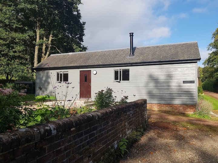 Gamekeeper's WoodForest · 416 yd
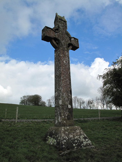 Cornecassa Housemonument · 515 yd
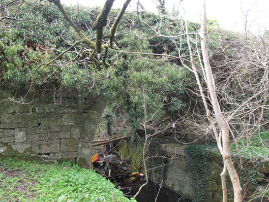 Ballyleck Bridgebridge · 589 yd
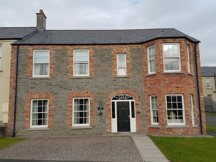 Churchland WoodWood · 606 yd
 Burnt mound in Cornecassa DemesneBurnt mound · 839 yd
 Enclosure in MullaghadunEnclosure · 1381 yd
 Banba GiantHeritage attraction · 1599 yd
 Roddy-Den-Drum GiantHeritage attraction · 1.2 mi
 Bawn in Roosky (monaghan By., Monaghan Par.)Bawn · 1.5 mi
 Rossmore MonumentMemorial · 1.5 mi
 Rough HillMountain / peak · 2.3 mi
 Lisarrilly HillMountain / peak · 5.8 mi
Other information
Photo: Credit not shown in the picture search · Rights wording not checked; contact us if this picture should be removed