
What is recorded here
Situated towards the bottom of a N-facing slope. Archaeological testing (08E0352) identified a large spread of broken and burnt stone (dims c. 12m NW-SE; c. 4.5m NE-SW; T 0.2m). It is preserved in situ. (Duffy 2008, 8, 9; 2011)
Compiled by: Michael Moore
Date of upload: 17 January 2020
Burnt mound, likely dating to the Neolithic or early Bronze Age. Such features are commonly associated with ritual or industrial activities, though their exact function remains debated.
- Townland
- Cornecassa Demesne
- Official type
- Burnt mound
- Official record
- MO009-078----
- What survives
- Recorded monument
- Location
- Official recorded centre point
Other information
Photo: Credit not shown in the picture search · Rights wording not checked; contact us if this picture should be removed
The monument record does not grant public access. Check the route and ask the landowner before entering private land.
Places near here
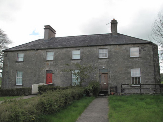 Cornecassa House — Monaghancountry house · 411 yd
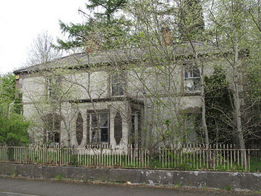 Shanhere — Scotstown Roadhouse · 571 yd
 Enclosure in MullaghadunEnclosure · 603 yd
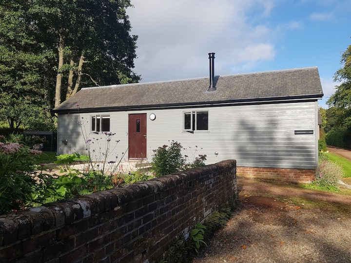 Gamekeeper's WoodForest · 731 yd
 Enclosure in Cornecassa DemesneEnclosure · 839 yd
 Cortolvin ForestWood · 975 yd
 Banba GiantHeritage attraction · 1.1 mi
 Rossmore MonumentMemorial · 1.1 mi
 Bawn in Roosky (monaghan By., Monaghan Par.)Bawn · 1.1 mi
 Monaghan County MuseumMuseum · 1.2 mi
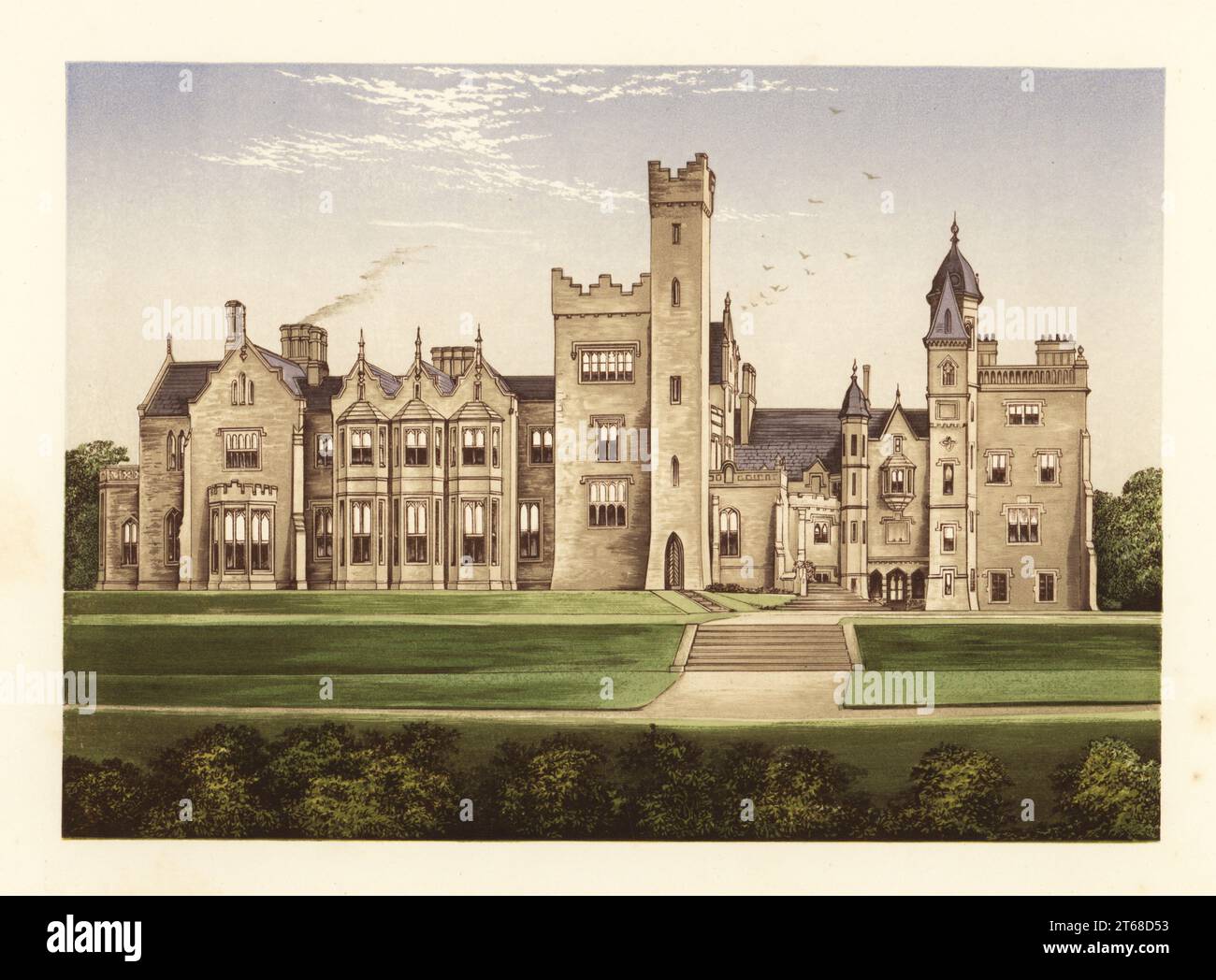 Rossmore CastleRuins · 1.6 mi
 Rough HillMountain / peak · 2.7 mi