What is recorded here
Fairy fort in Cornastauk: a worn earthen ring on the Bonet River marsh, 24.5m across, with no clear entrance. It may have been a dwelling, a boundary marker, or a place where people laid claims before writing existed. The river keeps the truth fluid, but the bank still holds its shape.
Located in an area of marshy grassland on the valley floor of the N-S Bonet River, with the stream c. 100m to the E. Circular area (int. diam. 24.5m N-S) defined by an overgrown earthen bank (Wth 2.25m; int. H 0.1m; ext. H 0.4m), which is reduced to a scarp at E. There is no visible fosse or identifiable original entrance.
The above description is derived from 'The Archaeological Inventory of County Leitrim' compiled by Michael J. Moore (Dublin: Stationery Office, 2003). In certain instances the entries have been revised and updated in the light of recent research.
Date of upload: 23 September 2008
The monument record does not grant public access. Check the route and ask the landowner before entering private land.
- What survives
- Recorded monument
Places near here
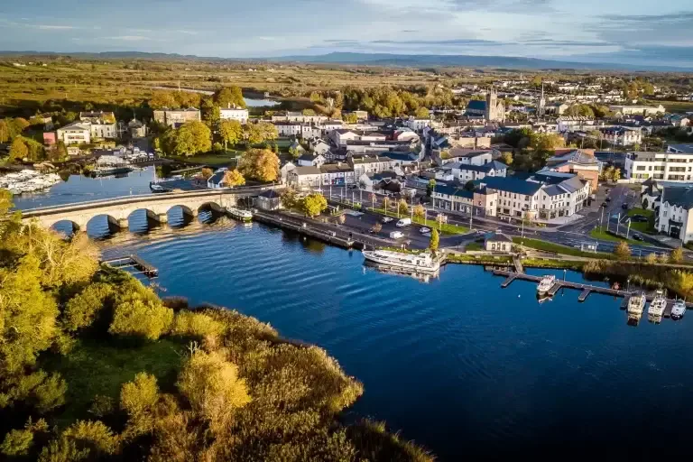 IndicatedFairy fort / ringfort · 561 yd
 Giants RockNamed rock · 649 yd
 Enclosure in CloonaquinEnclosure · 1.1 mi
 Cloonclare Church (in Ruins)Church · 1.2 mi
 BenboMountain / peak · 1.2 mi
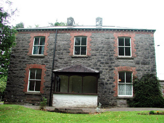 The Rectoryrectory/glebe/vicarage/curate's house · 1.2 mi
 The Giants GraveArchaeological place · 1.9 mi
 Castle CarCastle · 2.6 mi
 Ashisland WoodForest · 2.7 mi
 Longhill WoodForest · 2.8 mi
 Kilroosk RockNamed rock · 3.3 mi
 Green IslandIslet · 3.9 mi