What is recorded here
Fairy forts in Ireland are often human ringforts renamed later, but Cornastauk remains a thin circular scar on a steep drumlin above the Bonet River. The grassy platform measures twenty-four metres across and lacks a visible entrance or ditch, making it harder to read than most local forts. It may have been a watchpoint, a boundary marker, or a abandoned farmstead reduced to a line in the earth. The missing entrance suggests the site resisted easy judgement even before fairy names changed its meaning.
Marked only on the OS 25-inch map as a circular enclosure and situated on top of a steep-sided and prominent drumlin on the floor of the N-S Bonet River, with the stream c. 300m to the E. This is a grass-covered circular platform (diam. 24m) defined by a scarp (H 0.25m). There is no visible fosse or identifiable original entrance.
The above description is derived from 'The Archaeological Inventory of County Leitrim' compiled by Michael J. Moore (Dublin: Stationery Office, 2003). In certain instances the entries have been revised and updated in the light of recent research.
Date of revised upload: 15 April 2016
The monument record does not grant public access. Check the route and ask the landowner before entering private land.
- What survives
- Recorded monument
Places near here
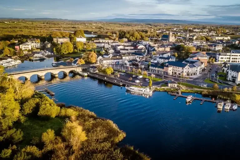 IndicatedFairy fort / ringfort · 1071 yd
 Giants RockNamed rock · 1124 yd
 Old Barrack YardBastioned fort · 1755 yd
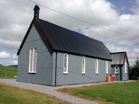 Lurganboy Church (Killasnet)church/chapel · 1.0 mi
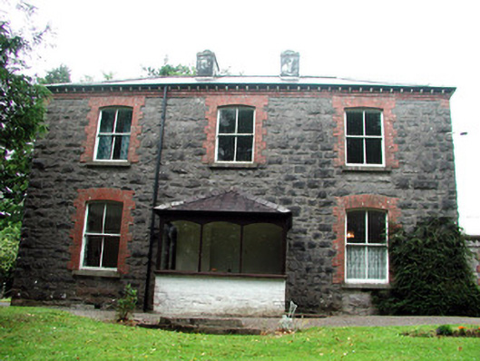 The Rectoryrectory/glebe/vicarage/curate's house · 1.0 mi
 BenboMountain / peak · 1.4 mi
 Ashisland WoodForest · 2.2 mi
 The Giants GraveArchaeological place · 2.2 mi
 Castle CarCastle · 2.3 mi
 Longhill WoodForest · 2.3 mi
 Kilroosk RockNamed rock · 2.9 mi
 Green IslandIslet · 4.3 mi