What is recorded here
Fairy fort in Cornaman, County Cavan: a circular grass-covered area about thirty metres across, ringed by a low earthen bank five to ten metres wide, set in a col between higher ground to the northeast and southwest and lower ground to the northwest and southeast. It appeared in low winter sunlight on satellite imagery in January 2020, first reported by Jean Charles Caillere. The name suggests people once believed the circle belonged to fairies rather than themselves, as if human hands had built it and then stepped back to let the story take it over.
Situated in a col with slightly higher ground c. 100-150m to the NE and SW and lower ground to the NW and SE. A circular grass-covered area (diam. c. 30m) defined by what is probably a low grass-covered earthen bank (Wth c. 5-10m) is visible in low winter sunlight on Google Earth (Jan 2020), and less clearly on some earlier Google images. It was first reported by Jean Charles Caillere.
See the attached view from Google Earth (Jan 2020)
Compiled by: Michael Moore
Date of upload: 31 March 2021
The monument record does not grant public access. Check the route and ask the landowner before entering private land.
- What survives
- Recorded monument
Places near here
 Giants GraveArchaeological place · 1729 yd
 Fair of MuffMemorial · 1759 yd
 Castle in ruinsCastle, unclassified · 1.1 mi
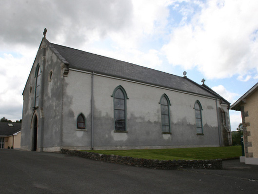 Our Lady of Mount Carmelchurch/chapel · 1.1 mi
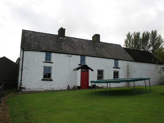 farm housefarm house · 1.2 mi
 Horse-chestnutHorse-chestnut · 1.6 mi
 Ice HouseArchaeological place · 1.6 mi
 IndicatedFairy fort / earthen ringfort · 1.6 mi
 CabraMountain / peak · 1.7 mi
 The CurraghWood · 1.7 mi
 Castle ruinsCastle, unclassified · 1.7 mi
 CornamaghMountain / peak · 1.8 mi