What is recorded here
Thirty-nine metres across on a drumlin ridge in Cornalaragh, the fort still stands as a grassy ring with a two-metre earthen bank and outer ditch. People called it a fairy fort, perhaps because the true owners and dates vanished long before written records. The visible shape preserves human labour, while the fairy name preserves the admission that the story is no longer complete.
Located on the summit of a NW-SE drumlin ridge. This is a circular grass-covered area (diam. 39m NW-SE; 36.5m NE-SW) defined by an overgrown earthen bank (Wth of base 3.8-5.2m; int. H 0.8-1.2m; ext. H 2.2-2.8m) overlain by a field bank NNW-ENE which provides an external stone facing to the base of the bank E-SE with traces of the fosse (Wth of base 1.6m; ext. D 0.2m) outside it. The bank is reduced almost to an external scarp (H c. 3m) SW-NW. There is an outer fosse (at NW: Wth of top 6.8m; Wth of base 1.8m; ext. D 1.2m) SSE-NW. There are entrances at SE (Wth of base 1m) and at S (Wth of base 2.3m).
The above description is derived from the published 'Archaeological Inventory of County Monaghan' (Dublin: Stationery Office, 1986). In certain instances the entries have been revised and updated in the light of recent research.
Date of revision: 25 August 2017
The monument record does not grant public access. Check the route and ask the landowner before entering private land.
- What survives
- Recorded monument
Places near here
 farm housefarm house · 849 yd
 Lisdrumturk fortFairy fort / earthen ringfort · 1045 yd
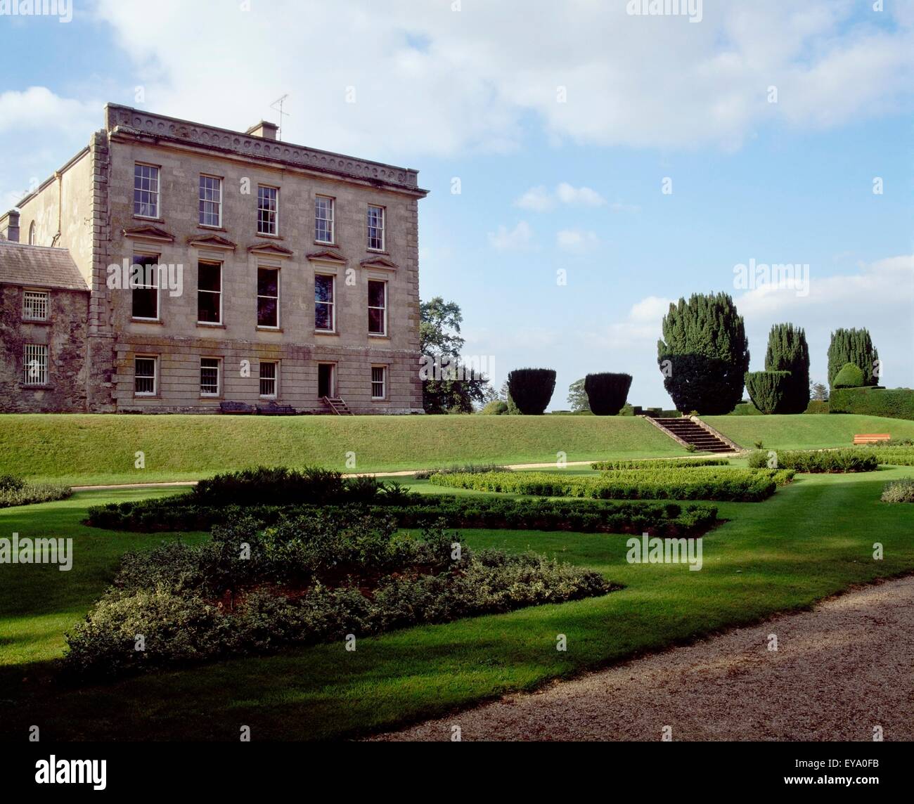 Hilltop enclosure in RaferaghHilltop enclosure · 1553 yd
 RaferaghMountain / peak · 1731 yd
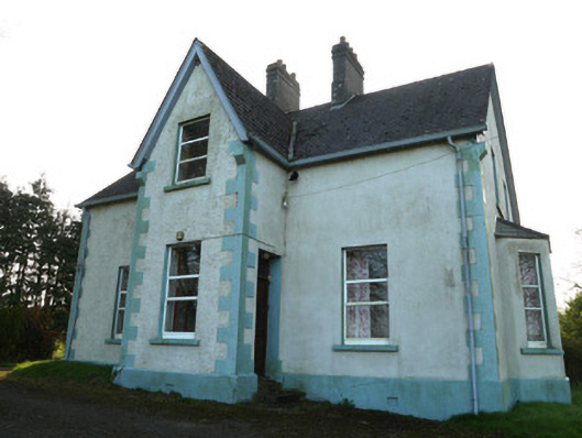 The Mansemanse · 1.3 mi
 NorthlandsWood · 1.3 mi
 Drumerlough MoreMountain / peak · 2.3 mi
 Taghart South ForestForest · 2.5 mi
 Bawn in LisdrumskeaBawn · 3.1 mi
 Bush IslandIslet · 3.4 mi
 Gull IslandIslet · 3.6 mi
 Giants GraveArchaeological place · 3.6 mi