What is recorded here
Fairy fort in Cornakill (tullygarvey By.), County Cavan, Ireland: a substantial earthen bank with a modern-looking external trench from SSW to NNW, divided by a north-south field boundary, its eastern portion lost from view. The visible remains suggest a broad oval rath, though the original entrance has vanished. People may have lived there, marked it, feared it or simply passed beside it; the earth kept its shape while memory thinned.
Remains comprise a substantial earthen bank with modern-looking external trench extending from SSW-NNW. The site is divided into two portions by a field boundary running N-S, E of which there are no surface remains. The visible remains suggest that the rath was formerly broad and oval in plan. Original entrance not recognisable.
The above description is derived from the published 'Archaeological Inventory of County Cavan' (Dublin: Stationery Office, 1995). In certain instances the entries have been revised and updated in the light of recent research.
Date of upload/revision: 22 December 2008
The monument record does not grant public access. Check the route and ask the landowner before entering private land.
- What survives
- Recorded monument
Places near here
 Giant's GraveArchaeological place · 934 yd
 Cordevlis FortFairy fort / earthen ringfort · 1052 yd
 Tullycoe FortArchaeological place · 1353 yd
 Rookery WoodForest · 1.2 mi
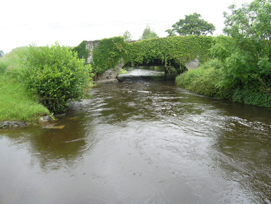 Curravogy Bridgebridge · 1.4 mi
 Paul's WoodForest · 1.5 mi
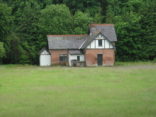 cottage orneecottage ornee · 1.6 mi
 DernaskeaghMountain / peak · 2.3 mi
 Giants GraveArchaeological place · 2.4 mi
 Site of Old CastleCastle, unclassified · 2.5 mi
 Bawn in DrumsheilBawn · 2.9 mi
 CorickMountain / peak · 3.2 mi