What is recorded here
Fairy forts are not fairy forts. They are human ringforts, misnamed because people stopped remembering the hands that built them. In Cornagrow a thirty-metre circle once cut the field, its edge preserved only in a bending boundary and a shallow scarp. That much shape still belongs to the place, even though the fort itself has been levelled. The fairies entered later, filling the gap left when the humans disappeared from the story.
Marked 'Fort' on OS 1836 and 1876 eds. The outline of the perimeter is marked by a curve in the field boundary from SW-W-NW and by a low scarp from E-SE. Field and map evidence indicates that the area enclosed was c. 30m in diameter. Known as the 'fort field' (local information). Site has been levelled.
The above description is derived from the published 'Archaeological Inventory of County Cavan' (Dublin: Stationery Office, 1995). In certain instances the entries have been revised and updated in the light of recent research.
Date of upload/revision: 22 December 2008
A fairy fort or earthen ringfort in Cornagrow, likely dating to the early medieval period, is indicated by a curved field boundary and a low scarp, with an enclosed area of approximately 30m. The site was marked as a 'Fort' on the 1836 and 1876 Ordnance Survey maps and is traditionally associated with local folklore surrounding fairies and otherworldly beings.
The monument record does not grant public access. Check the route and ask the landowner before entering private land.
- What survives
- Recorded monument
Places near here
 Pottle ForestForest · 1407 yd
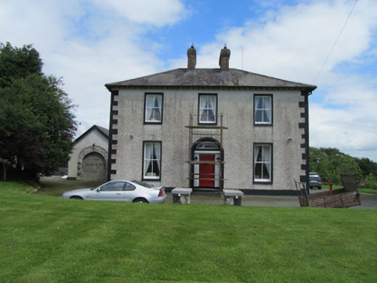 The Old Mansemanse · 1.3 mi
 Kiffagh Schoolschool · 1.7 mi
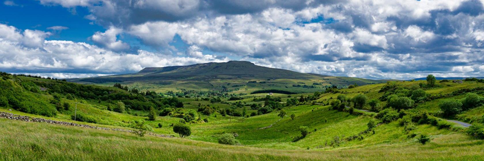 Coragh ForestWood · 1.9 mi
 Site of the Fever HospitalMemorial · 2.1 mi
 Ritual siteRitual site, holy/saint's stone · 2.1 mi
 IndicatedFairy fort / earthen ringfort · 2.1 mi
 CarrickatoberMountain / peak · 2.1 mi
 The GPO ExhibitionMuseum · 2.1 mi
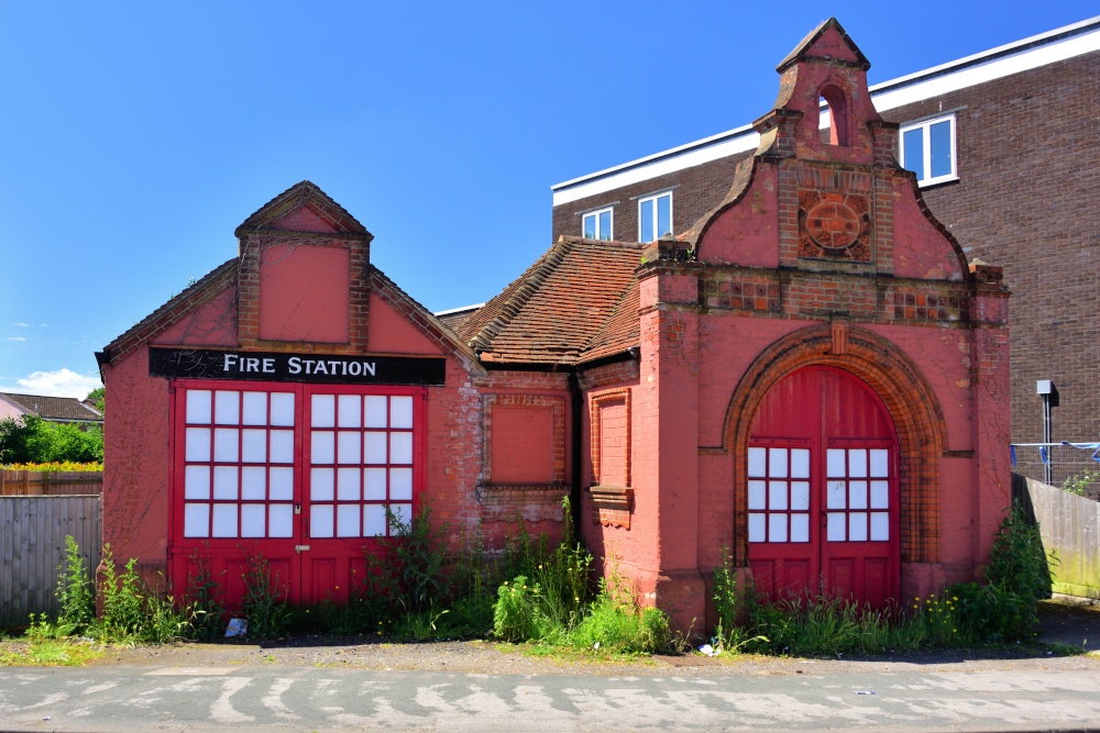 The Old Fire HouseMemorial · 2.2 mi
 Raven's RockNamed rock · 2.4 mi
 Bawn in DuffcastleBawn · 2.4 mi