What is recorded here
Modern buildings have bitten into the southern edge, but the wide fosse and tall bank still circle a raised ground twenty-eight metres across. The entrance has vanished beneath soil and forgetfulness, forcing anyone who wishes to enter to climb the ramp or break through the ditch. That loss of a clear doorway turns the fort into a trap for imagination, inviting people to wonder whether it excluded guests or guarded something dangerous.
Raised circular area (int. diam. c. 28m) enclosed by a substantial earthen bank and a wide, deep fosse. Modern farm buildings encroach on the site at S, and the perimeter of the rath has been levelled as a result. Original entrance not recognisable.
The above description is derived from the published 'Archaeological Inventory of County Cavan' (Dublin: Stationery Office, 1995). In certain instances the entries have been revised and updated in the light of recent research.
Date of upload/revision: 22 December 2008
The monument record does not grant public access. Check the route and ask the landowner before entering private land.
- What survives
- Recorded monument
Places near here
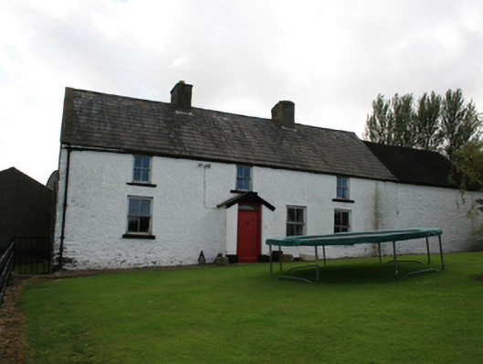 farm housefarm house · 1170 yd
 Giants GraveArchaeological place · 1325 yd
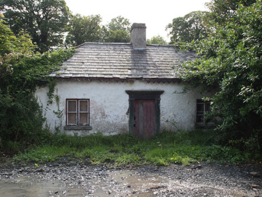 gate lodgegate lodge · 1370 yd
 Horse-chestnutHorse-chestnut · 1.0 mi
 Ice HouseArchaeological place · 1.0 mi
 Castle ruinsCastle, unclassified · 1.1 mi
 CabraMountain / peak · 1.1 mi
 Dún a Rí Forest ParkForest · 1.2 mi
 In Memory of Our DadMemorial · 1.2 mi
 Castle in ruinsCastle, unclassified · 1.7 mi
 CornamaghMountain / peak · 2.0 mi
 Cross in EnniskeenCross · 2.0 mi