What is recorded here
Water and time have drunk most of the fort, leaving a shallow D-shaped scar in the pasture where a living boundary once stood. The earth still remembers the shape of hands that threw it up, even if the names of those hands have washed away with the seasons.
Situated in reclaimed pasture in a low-lying position. It is not marked on any maps but it is visible as a faint circular feature on aerial photographs (OSAP: 4/1008-9). This is a D-shaped grass-covered area (dims 34m N-S; 22.3m E-W) defined by slight traces of an earthen bank (Wth c. 4.5m; H 0.1-0.2m) SE-W-NW which is separated by a fosse (Wth of base 3.5-5.5m) from an outer bank (Wth 1.5-4m; H 0.1m) SE-W-NW. The perimeter is reduced to a scarp down to the interior (H 0.2m) NW-NE, and the monument is cut by a N-S stream and road bank at E. The original entrance is not identified. Although very eroded it is probably a rath.
The above description is derived from 'The Archaeological Inventory of County Leitrim' compiled by Michael J. Moore (Dublin: Stationery Office, 2003). In certain instances the entries have been revised and updated in the light of recent research.
Date of upload: 23 September 2008
The monument record does not grant public access. Check the route and ask the landowner before entering private land.
- What survives
- Recorded monument
Places near here
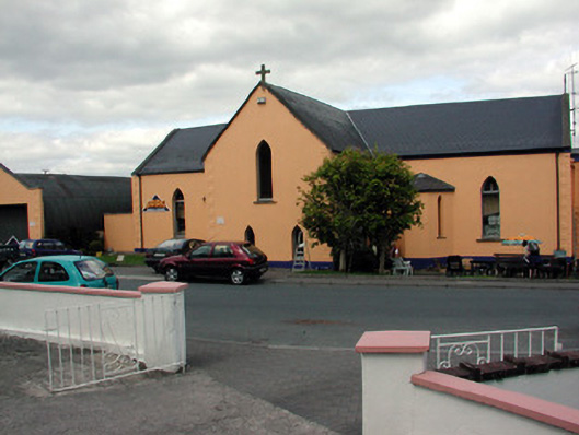 church/chapelchurch/chapel · 1615 yd
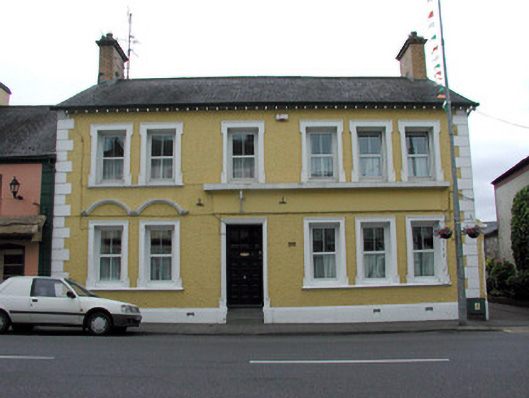 bank/financial institutionbank/financial institution · 1680 yd
 John Joe McGirlMonument · 1696 yd
 Knockmullin FortFairy fort / earthen ringfort · 1.3 mi
 DrumbadMountain / peak · 2.6 mi
 Buck IslandIsland · 2.9 mi
 Turf IslandIsland · 3.0 mi
 Swan Island pet farmHeritage attraction · 3.5 mi
 Cromlin Bridge WoodWood · 3.6 mi
 DrumgownaghMountain / peak · 3.7 mi
 CastleCastle, tower house · 3.7 mi
 Bawn in Cherry IslandBawn · 4.1 mi