What is recorded here
Cornacarrow holds a thirty-one metre ring of raised earth where a substantial bank still encloses a wide, largely infilled fosse. The eastern entrance keeps its causeway remains, marking the exact line where people once entered the fortified space. A modern bank and external trench now wrap the ancient edge, layering human time upon the same ground. The fort stands as a rath, not a fairy tale, yet it still invites imagination about the lives that shaped its circles.
Raised circular area (int. diam. 31.1m) enclosed by a substantial earthen bank and a wide, largely infilled fosse. A modern earthen bank with external trench lies outside the fosse. Break in bank at ENE with remains of accompanying causeway represents original entrance.
The above description is derived from the published 'Archaeological Inventory of County Cavan' (Dublin: Stationery Office, 1995). In certain instances the entries have been revised and updated in the light of recent research.
Date of upload/revision: 22 December 2008
The monument record does not grant public access. Check the route and ask the landowner before entering private land.
- What survives
- Recorded monument
Places near here
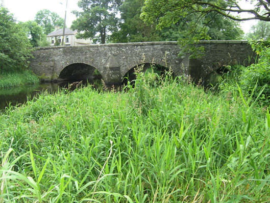 Clement's Bridgebridge · 705 yd
 post boxpost box · 758 yd
 IndicatedFairy fort / earthen ringfort · 1064 yd
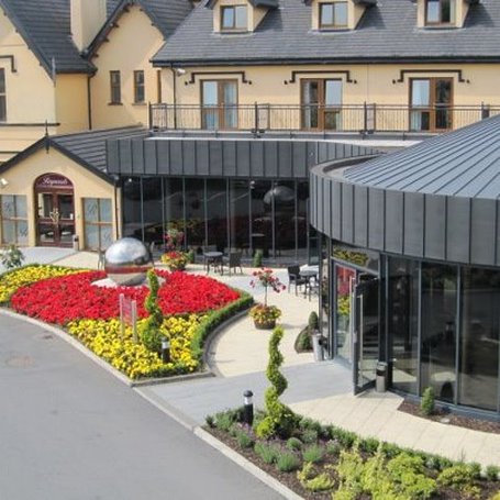 Errigal RingfortArchaeological place · 1285 yd
 Claragh WoodForest · 1446 yd
 Brown's HillMountain / peak · 1477 yd
 Ashfield DemesneForest · 1.0 mi
 CastleCastle, unclassified · 1.1 mi
 CortoberMountain / peak · 1.2 mi
 Site of Old CastleCastle, unclassified · 2.3 mi
 Graveyard in Drumgoon (clankee By.)Graveyard · 3.4 mi
 Giant's GraveArchaeological place · 4.3 mi