What is recorded here
Fairy fort / earthen ringfort in Cormeen (kells Lower By., Moynalty Par.) stands at the north end of a drumlin ridge, a circular embankment wide enough for thirty paces across. It vanished beneath pasture and time, yet a fallen tree still marks its southern edge like a forgotten boundary. People may have lived there, feared there, or simply passed beside it while believing fairies owned the ground. The earth keeps the shape even when memory releases it.
Located towards the N end of a slight NNW-SSE drumlin ridge. A circular embanked enclosure (ext. diam. c. 27-30m) is depicted on the 1836 edition of the OS 6-inch map where it is described in gothic lettering as a ‘Fort’, and it is represented as a hachured feature on the 1908 edition. It is not visible at ground level in pasture, but a fallen tree in an uncultivated area (dims 22m NE-SW; 10m NW-SE) was probably at the S edge of the monument.
The above description is derived from the published 'Archaeological Inventory of County Meath' (Dublin: Stationery Office, 1987). In certain instances the entries have been revised and updated in the light of recent research.
Compiled by: Michael Moore
Date of revision: 31 August 2018
The monument record does not grant public access. Check the route and ask the landowner before entering private land.
- What survives
- Recorded monument
Places near here
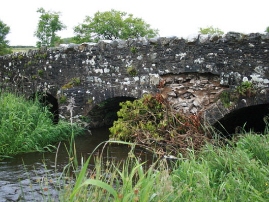 Christy's Bridgebridge · 438 yd
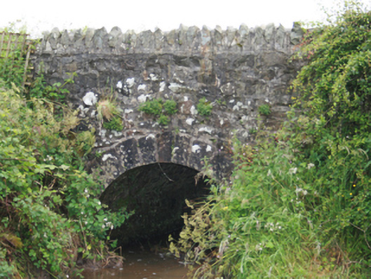 County Bridgebridge · 835 yd
 Grave YardGraveyard · 1195 yd
 MoatCastle, motte and bailey · 1227 yd
 Cormeen FortFairy fort / earthen ringfort · 1496 yd
 Tullynaskeagh WestForest · 1.5 mi
 Tullynaskeagh EastForest · 1.5 mi
 CarnagarveMountain / peak · 1.7 mi
 Blackhills LowerMountain / peak · 1.7 mi
 Sit of Old CastleCastle, unclassified · 2.1 mi
 Sally IslandIslet · 3.4 mi
 Crow IslandIslet · 3.4 mi