What is recorded here
Fairy fort is a misreading born of fear and wonder. What is more likely is a human dwelling, farmstead or boundary marker from the distant past, misread because it stood empty when remembered. The chamber should be written as a lived place, not a fantasy placeholder.
Raised oval area (int. dims. c. 30m N-S; c. 19m E-W) enclosed by a low earthen bank and traces of a shallow fosse. From NNW-N-E the perimeter has been destroyed and replaced by a modern field boundary. Original entrance not recognisable.
The above description is derived from the published 'Archaeological Inventory of County Cavan' (Dublin: Stationery Office, 1995). In certain instances the entries have been revised and updated in the light of recent research.
Date of upload/revision: 22 December 2008
This remains an important historical record, but the official description says the monument is no longer visible or has been destroyed. The monument record does not grant public access. Check the route and ask the landowner before entering private land.
- What survives
- No visible remains or recorded as destroyed
Places near here
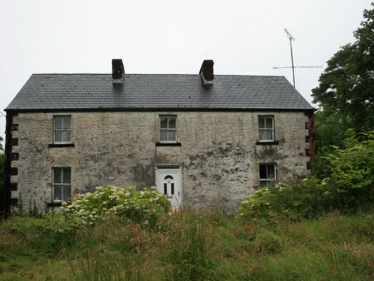 Drumacarrow Housefarm house · 570 yd
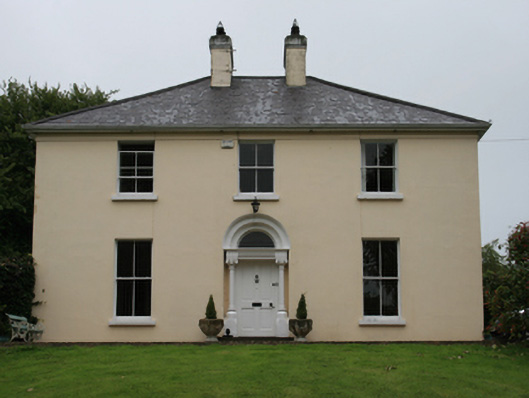 Urcher Mansemanse · 645 yd
 CarnalynchMountain / peak · 1156 yd
 DrumacarrowMountain / peak · 1233 yd
 CastleCastle, motte · 1.2 mi
 Brothers GravesVisitor information · 1.5 mi
 In Memory of Patrick KiernanMemorial · 1.6 mi
 Castle Lake ForestForest · 1.8 mi
 Drumbannan FortArchaeological place · 1.9 mi
 Tullynaskeagh WestForest · 1.9 mi
 IndicatedFairy fort / earthen ringfort · 2.1 mi
 Birthplace of General Philip SheridanMemorial · 2.5 mi