What is recorded here
The following description is derived from both the published 'Archaeological Inventory of County Louth' (Dublin: Stationery Office, 1986) and the 'Archaeological Survey of County Louth' (Dublin: Stationery Office, 1991). In certain instances the entries have been revised and updated in the light of recent research.
Date of upload/revision: 17 July 2007
Subcircular area (int. dims. c. 34m E-W, 30m N-S) enclosed by earthen bank (Wth 3m, H 0.2m internally, 2m externally) now almost completely removed from S-W-NW, with external fosse (Wth 5.2m, D 0.3m), which appears to have been re-cut during modern field drainage. Entrance gap (Wth 2.9m) at E. Interior of site waterlogged.
The monument record does not grant public access. Check the route and ask the landowner before entering private land.
- What survives
- Recorded monument
Places near here
 Enclosure in WhiteriverEnclosure · 1165 yd
 Mullins FortArchaeological place · 1472 yd
 CastleCastle, unclassified · 1.2 mi
 Black HillMountain / peak · 1.3 mi
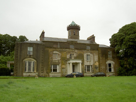 Rathescarcountry house · 1.5 mi
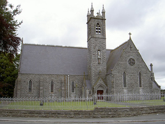 Catholic Church of Our Lady of the Immaculate Conceptionchurch/chapel · 1.6 mi
 Rathescar Lakeside WalkWood · 1.7 mi
 BarabonaMountain / peak · 1.7 mi
 Monasterboice Round TowerHeritage attraction · 2.2 mi
 Muiredach's High CrossHeritage attraction · 2.2 mi
 Not idicatatedCastle, unclassified · 2.4 mi
 Pedunculate OakPedunculate Oak · 2.5 mi