What is recorded here
Mortals may have lived there, but the fairies certainly did. They still do. The fort is theirs.
An almost circular raised area (int. diam. c.33m) enclosed by a substantial earthen bank and traces of a fosse. From ESE-W-WSW a modern embankment has been built against the outer face of the bank, and the fosse incorporated into the field drainage system. Narrow break in bank at NE probably represents original entrance.
The above description is derived from the published 'Archaeological Inventory of County Cavan' (Dublin: Stationery Office, 1995). In certain instances the entries have been revised and updated in the light of recent research.
Date of upload/revision: 22 December 2008
The monument record does not grant public access. Check the route and ask the landowner before entering private land.
- What survives
- Recorded monument
Places near here
 Carricknagore RockNamed rock · 759 yd
 RathcorickArchaeological place · 1238 yd
 Bawn in MoynehallBawn · 1552 yd
 IndicatedHoly well · 1.1 mi
 Corgarran ForestForest · 1.6 mi
 Shannow ForestForest · 1.6 mi
 Aghalackan WestMountain / peak · 1.8 mi
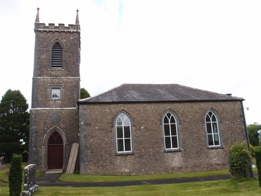 Denn Churchchurch/chapel · 1.8 mi
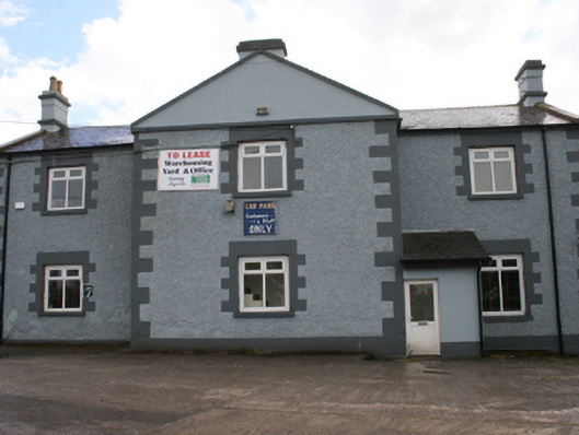 Cavan Schoolschool · 1.9 mi
 Dennmore or LeggandennMountain / peak · 1.9 mi
 Owen Roe O'Neill graveMemorial · 2.4 mi
 Castle CosbyCastle, unclassified · 3.0 mi