What is recorded here
Fairy fort in Corlagan, County Longford. A circular earthwork on a low hillside, marked as a fort on old survey maps but no longer visible beneath grass and pasture. It may have been a home, a boundary marker, or a child's fantasy given shape by adults who believed it. The land keeps both possibilities alive.
On the E slope of a low hill in pasture. Depicted as a circular enclosure with the designation 'Fort' on the 1837 ed. of the OS 6-inch map. The monument is not visible at ground level.
Compiled by: Patrick F. O'Donovan
Date of upload: 26 August 2011
The monument record does not grant public access. Check the route and ask the landowner before entering private land.
- What survives
- Recorded monument
Places near here
 Chapel (in Ruins)Church · 514 yd
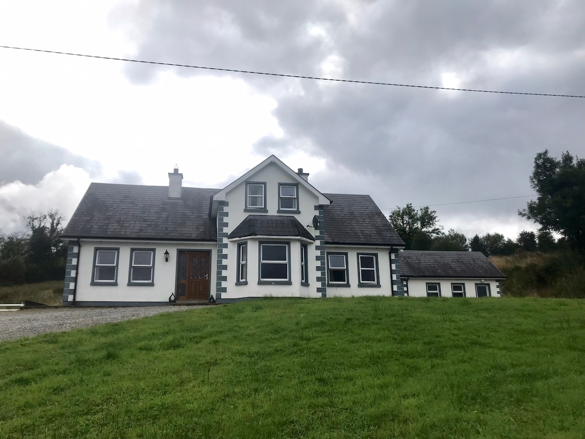 IndicatedBawn · 731 yd
 Lyneen Bridgebridge · 1142 yd
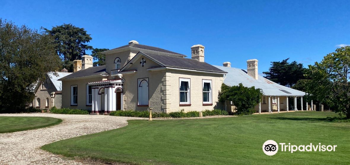 Enclosure in CaldraghmoreEnclosure · 1682 yd
 Site of Kers GraveMegalithic tomb · 1.1 mi
 Bawn in BallyknockBawn · 1.7 mi
 Graveyard in Curry (ardagh By., Coolamber Ed)Graveyard · 1.9 mi
 First World War MemorialMemorial · 4.6 mi
 Saint Mel's CathedralCathedral · 4.7 mi
 Commons North WalkVisitor information · 6.4 mi
 Wild birdsVisitor information · 6.4 mi
 White Sand WoodWood · 6.4 mi