What is recorded here
Fairy forts are not fairy forts, they are human ringforts misnamed because people stopped remembering the hands that built them. Corkeeran is one of those: a broken earthen arc, thirty-seven metres across, swallowed by a field bank on a slight rise above low ground. The circle is gone but the chord remains, wide enough to walk through and tall enough to mark the line between inside and outside. A small round structure sits on the outer edge, perhaps a kiln, perhaps a sweat-house, waiting for someone to remember heat and transformation.
Situated on a slight rise in a low-lying landscape. Depicted as an embanked enclosure (ext. diam. c. 35m) described as a fort on the 1834 edition of the OS 6-inch map and as an arc of hachures on the 1907 edition. The arc of an earthen bank (at S: Wth 5.2m; int. H 0.8m; ext. H 3m) survives E-S-WNW (Chord 37.2m) incorporated into an overgrown field bank. A circular limekiln, or perhaps a sweat-house (int. diam. 1.4m; surviving H 0.8m) is built into the outside of the perimeter at SW.
The above description is derived from the published 'Archaeological Inventory of County Monaghan' (Dublin: Stationery Office, 1986). In certain instances the entries have been revised and updated in the light of recent research.
Date of revision: 28 June 2017
The monument record does not grant public access. Check the route and ask the landowner before entering private land.
- What survives
- Recorded monument
Places near here
 IndicatedFairy fort / earthen ringfort · 440 yd
 Campbells fortFairy fort / earthen ringfort · 493 yd
 Church in Killark (farney By.)Church · 1.2 mi
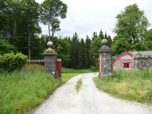 Lough Fea Housedemesne walls/gates/railings · 1.2 mi
 Flat cemetery in AnnaheanFlat cemetery · 1.9 mi
 CastleCastle, motte and bailey · 2.0 mi
 Monkey-puzzleMonkey-puzzle · 2.5 mi
 European BeechEuropean Beech · 2.7 mi
 BarleyhillMountain / peak · 3.7 mi
 In Memory of Our DadMemorial · 4.6 mi
 Mannan Castle (in ruins)Castle, Anglo-Norman masonry castle · 4.7 mi
 CabraMountain / peak · 4.8 mi