What is recorded here
None. The supplied facts contain no completed story and refuse to invent a missing account.
Located on a shoulder that is on the SE-facing spine of a NW-SE drumlin ridge. An earthwork at this location in Corgreagh is represented on McCrea’s Map of County Monaghan (1793) and on the 1834 and 1907 editions of the OS 6-inch map. This is an oval overgrown area (dims 34m NNW-SSE; 27.5m E-W) defined by an overgrown earthen bank (Wth of base 6-10m; int. H 0.9-1.4m; ext. H 2.7-3.6m) that is almost reduced to a scarp SSW-NW and NNE-SE, and an outer rounded fosse (at SSE Wth of top 5.2m; ext. D 1m) ESE-SW that is largely reduced to a berm (at NNW: Wth 4m) elsewhere. An outer, flat-topped bank (at SSE: Wth of base 4.6m; Wth of top 2m; ext. H 0.9m) survives E-S. There is an entrance through the inner bank (Wth of base c. 1.5m) and a causeway (Wth of top 2.8m; H 0.85m) at SE, but the outer bank blocks it.
The above description is derived from the published 'Archaeological Inventory of County Monaghan' (Dublin: Stationery Office, 1986). In certain instances the entries have been revised and updated in the light of recent research.
Revised by: Michael Moore
Date of revision: 31 January 2018
The monument record does not grant public access. Check the route and ask the landowner before entering private land.
- What survives
- Recorded monument
Places near here
 IndicatedFairy fort / earthen ringfort · 767 yd
 farmyard complexfarmyard complex · 978 yd
 Man-made underground passage in CorracharraMan-made underground passage · 997 yd
 CarrickcreenyMountain / peak · 1009 yd
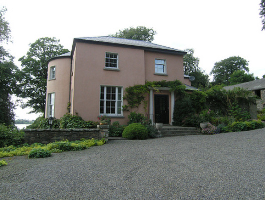 Lough Sillan Houserectory/glebe/vicarage/curate's house · 1663 yd
 Gull IslandIslet · 1.1 mi
 Kilmacaran IslandIslet · 1.3 mi
 Sillan LakeshoreWood · 1.4 mi
 Bawn in LisdrumskeaBawn · 1.6 mi
 Senator Billy Fox 1939 - 1974Memorial · 1.8 mi
 Kinnea Corlattylannan ForestForest · 3.0 mi
 RaferaghMountain / peak · 3.3 mi