What is recorded here
Fairy forts are not fairy forts, they are human ringforts misnamed because people stopped remembering the humans. Corglass is a true ringfort: a 46.5m grass circle on a south-facing slope, with an earthen bank, a central platform and a probable modern entrance. The fairy name is the interesting part; it is what happens when a place outlives the story that explained it.
Situated on a S-facing slope. This is a grass-covered circular area (diam. 46.5m N-S; 46.5m E-W) defined by an overgrown earthen bank (Wth 4-6.5m; int. H 0.6-1.6m; ext. H 1.2-1.7m) NW-E-SE, which is incorporated into a field bank WSW-NW and reduced to a scarp (H 1.4m) SE-WSW (downslope). There is no visible fosse, although there is an outer drain (Wth of base 1m; ext. D 0.6m) E-S. The entrance (Wth of base 2.8m) at SE is probably modern in its present iteration. At the centre is a slightly raised subcircular platform (dims of top 21m N-S; 18m E-W) defined by a slight scarp (H 0.2 at E to 0.6m at W) which melds into the ground surface NW-NE.
The above description is derived from 'The Archaeological Inventory of County Leitrim' compiled by Michael J. Moore (Dublin: Stationery Office, 2003). In certain instances the entries have been revised and updated in the light of recent research.
Compiled by: Michael Moore
Date of revised upload: 14 October 2019
The monument record does not grant public access. Check the route and ask the landowner before entering private land.
- What survives
- Recorded monument
Places near here
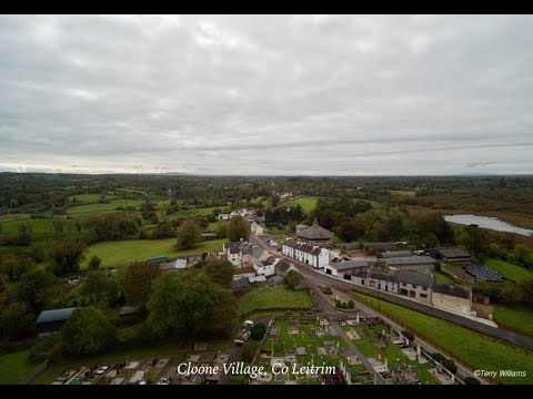 Enclosure in DrumhalryEnclosure · 1073 yd
 Pedunculate OakPedunculate Oak · 1110 yd
 Mass-rock in Annagh (carrigallen By.)Mass-rock · 1231 yd
 King's GraveArchaeological place · 1243 yd
 Kilnamarve ForestForest · 1.1 mi
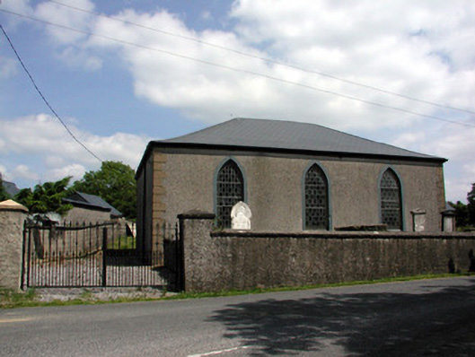 Carrigallen Presbyterian Churchchurch/chapel · 1.4 mi
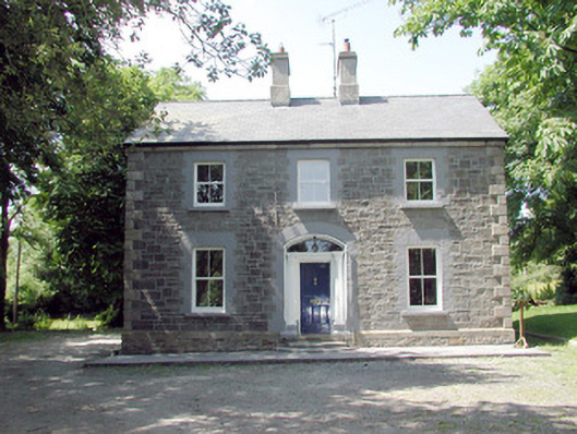 The Mansemanse · 1.4 mi
 DrummuckerMountain / peak · 1.8 mi
 DrumbreanlisMountain / peak · 2.2 mi
 Crane IslandIslet · 4.1 mi
 BatteryBawn · 4.1 mi
 Swan Island pet farmHeritage attraction · 4.2 mi