What is recorded here
Mortons and Cavan field workers have treated the Corgarve fort as a familiar neighbour rather than a distant ruin. A round earthen ridge still marks the place, with a narrow gap where an entrance may have stood and a modern drain taking the role of the old ditch. People have lived beside it, farmed around it and told stories about it for generations. The fort does not need a grand discovery to be believable because the land still preserves its shape and the community still recognises it.
Raised circular area (int. diam. 31.9m) enclosed by a low earthen bank. Outside of this in the SE half of the site is a modern field drain which has presumably replaced the original fosse. From SW-N-E bank has been scarped and incorporated into the field boundary. Narrow break in bank at SE may represent original entrance.
The above description is derived from the published 'Archaeological Inventory of County Cavan' (Dublin: Stationery Office, 1995). In certain instances the entries have been revised and updated in the light of recent research.
Date of upload/revision: 22 December 2008
The monument record does not grant public access. Check the route and ask the landowner before entering private land.
- What survives
- Recorded monument
Places near here
 IndicatedFairy fort / earthen ringfort · 686 yd
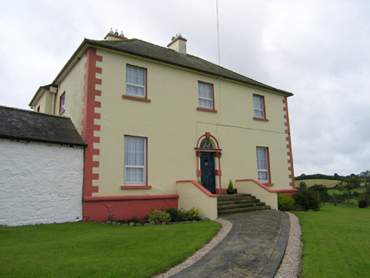 Castleterra Rectoryrectory/glebe/vicarage/curate's house · 780 yd
 CorgarveMountain / peak · 977 yd
 Enclosure in OuleyEnclosure · 1576 yd
 Garden IsleIslet · 1.0 mi
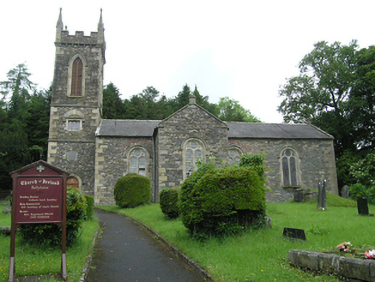 Ballyhaise Church of Ireland Churchchurch/chapel · 1.0 mi
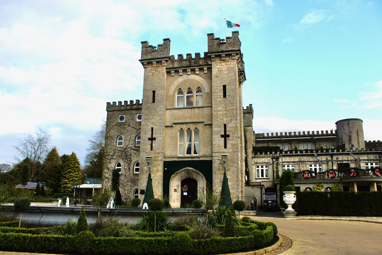 CastleCastle, unclassified · 1.0 mi
 Castleterra ForestForest · 1.1 mi
 Ballyhaise Ho.Castle, unclassified · 1.1 mi
 Agroforestry plotForest · 1.3 mi
 ArdamaghMountain / peak · 1.6 mi
 Giants GraveArchaeological place · 3.7 mi