What is recorded here
Mud, muscle and memory built the Corfree ringfort before written history arrived. A tall earthen bank still stands around a circular space twenty-eight metres wide, while a deep ditch rings the outside like a watermark. The south-east gap and its causeway mark the entrance, inviting entry into a chamber where ordinary life may have turned to legend. People walked that causeway, lived inside the bank and left the fort behind. Fairy fort is the name tradition gave it after forgetting the human hands that shaped it.
An almost circular raised area (int. diam. c. 28m) enclosed by a substantial earthen bank and a wide, deep fosse. Break in bank at SSE with accompanying causeway represents original entrance.
The above description is derived from the published 'Archaeological Inventory of County Cavan' (Dublin: Stationery Office, 1995). In certain instances the entries have been revised and updated in the light of recent research.
Date of upload/revision: 22 December 2008
The monument record does not grant public access. Check the route and ask the landowner before entering private land.
- What survives
- Recorded monument
Places near here
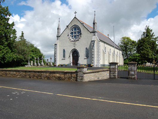 Church of the Holy Familychurch/chapel · 494 yd
 Scrabby Hill FortArchaeological place · 626 yd
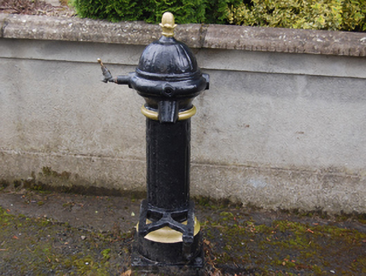 water pumpwater pump · 653 yd
 Cloone Ho.Castle, unclassified · 907 yd
 Scrabby IslandIslet · 959 yd
 CornagranMountain / peak · 1291 yd
 Arnaghan NorthMountain / peak · 1358 yd
 White IslandIslet · 1457 yd
 Burnt spread in EnaghanBurnt spread · 1.2 mi
 Cornamucklagh WoodlandWood · 1.3 mi
 Mulrick WoodlandForest · 1.4 mi
 CastleBawn · 2.1 mi