What is recorded here
Marianne said the fort was not abandoned. It was waiting. The dual banks and wide fosse formed a complete circle because completion mattered more than size. The southern entrance aligned with the path from the village, inviting people into the middle rather than keeping them outside. Levelled soil did not erase the shape. It removed the warning that the circle was finished. What is missing must be supplied by the person standing inside it.
An earlier report (OPW 1974) recorded a raised circular area (int. diam. c. 35m) enclosed by two substantial earthen banks with deep, wide intermediate fosse. Entrance was at SSE represented by corresponding breaks in banks with an accompanying causeway. Although site has been levelled, the outline of the perimeter is still clearly visible.
The above description is derived from the published 'Archaeological Inventory of County Cavan' (Dublin: Stationery Office, 1995). In certain instances the entries have been revised and updated in the light of recent research.
Date of upload/revision: 22 December 2008
The monument record does not grant public access. Check the route and ask the landowner before entering private land.
- What survives
- Recorded monument
Places near here
 Burnt spread in EnaghanBurnt spread · 1172 yd
 Scrabby Hill FortArchaeological place · 1303 yd
 White IslandIslet · 1439 yd
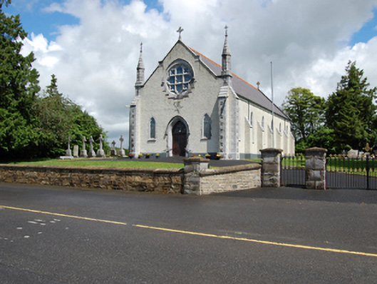 Church of the Holy Familychurch/chapel · 1.1 mi
 Arnaghan NorthMountain / peak · 1.1 mi
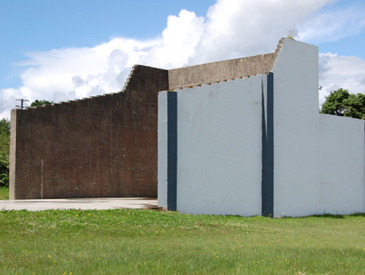 handball alleyhandball alley · 1.1 mi
 Lisraherty Bog WoodlandWood · 1.3 mi
 Cloone Ho.Castle, unclassified · 1.4 mi
 Scrabby IslandIslet · 1.5 mi
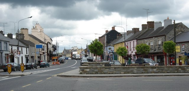 AghaveansMountain / peak · 1.6 mi
 CastleBawn · 1.7 mi
 Cornamucklagh WoodlandWood · 2.2 mi