What is recorded here
No visible fort remains on the east side, but the missing half is not empty. The field wall cuts through the middle of the claim, dividing one place into two and inviting imagination to complete what sight withholds.
Situated on a hillock on the shores of Lough Gowna. Raised D-shaped area (int. dims. 28.8m NE-SW; c. 29m NW-SE) enclosed by a substantial earthen bank and a fosse. Site is divided into two apparently equal portions by a modern field wall running NW-SE. There are no surface remains NE of this. Slight depression in the bank accompanied by suggestions of a causeway at NNE may represent original entrance.
The above description is derived from the published 'Archaeological Inventory of County Cavan' (Dublin: Stationery Office, 1995). In certain instances the entries have been revised and updated in the light of recent research.
Date of upload/revision: 22 December 2008
The monument record does not grant public access. Check the route and ask the landowner before entering private land.
- What survives
- Recorded monument
Places near here
 Scrabby Hill FortArchaeological place · 753 yd
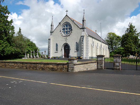 Church of the Holy Familychurch/chapel · 896 yd
 White IslandIslet · 1054 yd
 Arnaghan NorthMountain / peak · 1064 yd
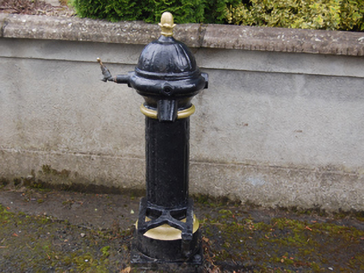 water pumpwater pump · 1070 yd
 Cloone Ho.Castle, unclassified · 1198 yd
 Scrabby IslandIslet · 1347 yd
 CornagranMountain / peak · 1692 yd
 Burnt spread in EnaghanBurnt spread · 1752 yd
 Mulrick WoodlandForest · 1.4 mi
 Cornamucklagh WoodlandWood · 1.6 mi
 CastleBawn · 1.9 mi