What is recorded here
No visible trace remains in the green pasture, though a nineteenth-century map marked a large oval bank on the drumlin slope. The fort vanished before modern tools reached it, leaving behind a clean field and a forgotten line on paper.
Located towards the bottom of the NW-facing slope of a NW-SE drumlin ridge. This monument is depicted as an oval embanked enclosure (dims c. 55m NW-SE; c. 45m NE-SW) only on the 1834 edition of the OS 6-inch map. No archaeological feature is visible at ground level in improved pasture. Archaeological testing (04E1537) c. 80m the SSW at the nearest point produced no related material (Duffy 2007).
The above description is derived from the published 'Archaeological Inventory of County Monaghan' (Dublin: Stationery Office, 1986). In certain instances the entries have been revised and updated in the light of recent research.
Date of revision: 8 December 2017
Amended: 13 January 2020
The monument record does not grant public access. Check the route and ask the landowner before entering private land.
- What survives
- Recorded monument
Places near here
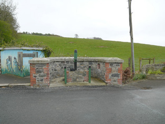 water pumpwater pump · 232 yd
 Donaghmoyne Post Officehouse · 244 yd
 IndicatedFairy fort / earthen ringfort · 813 yd
 Mannan Castle (in ruins)Castle, Anglo-Norman masonry castle · 1144 yd
 Grave YardGraveyard · 1623 yd
 TobernagalliaghSpring · 1.7 mi
 Horse-chestnutHorse-chestnut · 3.1 mi
 KnockreaghMountain / peak · 3.3 mi
 European BeechEuropean Beech · 3.9 mi
 Fincarn HillMountain / peak · 4.5 mi
 Gully IslandIslet · 5.1 mi
 Rock IslandIslet · 5.4 mi