What is recorded here
Half-buried at the crest of a Monaghan drumlin, the fairies kept their fort while human fields swallowed the rest. A low earthen bank still curves around a D-shaped hollow, truncated by a modern field boundary, yet the 1834 map drew it as a full thirty-five metre circle. The land remembers more shape than it shows, hiding the difference beneath grass and time.
Located at the crest of the N-facing slope of a drumlin. It is depicted as a circular embanked enclosure (ext. diam. c. 35m) on the 1834 edition of the OS 6-inch map where it is described in gothic lettering as a ‘fort’, and as a hachured D-shaped feature N of an E-W field bank on the 1907 edition. This is an overgrown D-shaped area (dims c. 22m E-W; c. 10m N-S) defined by an earthen bank (at NW: Wth c. 2m; int. H 0.25m; ext. H 0.95m) W-N-E, which is reduced to a scarp (H 1.2m) at NE. There is no visible fosse or entrance. The monument is truncated by an E-W field bank at S, and cannot be traced visibly S of this feature. Ringfort (MO030-001----) is c. 180m to the WSW.
The above description is derived from the published 'Archaeological Inventory of County Monaghan' (Dublin: Stationery Office, 1986). In certain instances the entries have been revised and updated in the light of recent research.
Date of revision: 24 August 2017
The monument record does not grant public access. Check the route and ask the landowner before entering private land.
- What survives
- Recorded monument
Places near here
 Lisataggart FortArchaeological place · 880 yd
 Lisnageer FortFairy fort / earthen ringfort · 887 yd
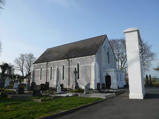 Catholic Church of Saint John the Evangelistchurch/chapel · 1063 yd
 farmyard complexfarmyard complex · 1116 yd
 RaferaghMountain / peak · 1758 yd
 Bawn in LisdrumskeaBawn · 1.2 mi
 Sillan LakeshoreWood · 1.3 mi
 Bush IslandIslet · 1.5 mi
 Gull IslandIslet · 1.7 mi
 CarrickcreenyMountain / peak · 1.9 mi
 NorthlandsWood · 2.2 mi
 Senator Billy Fox 1939 - 1974Memorial · 4.1 mi