What is recorded here
Fairy forts are human ringforts misnamed, often containing iron slag from smithing rather than magic. This one in Corbally South measured twenty metres across on the 1842 map before ploughing levelled its bank into a shallow saucer. It stands on an east-facing slope now hidden beneath tillage, preserving only a faint difference in soil colour and scattered slag.
In tillage, on E-facing slope. Shown on 1842 OS 6-inch map as circular enclosure (diam. c. 20m). Levelled; saucer-shaped depression visible; differential soil colour traces line of bank; iron slag in field.
The above description is derived from the published 'Archaeological Inventory of County Cork. Volume 2: East and South Cork' (Dublin: Stationery Office, 1994). In certain instances the entries have been revised and updated in the light of recent research.
Date of upload/revision: 14 January 2009
The monument record does not grant public access. Check the route and ask the landowner before entering private land.
- What survives
- Recorded monument
Places near here
 Carberrytown WoodWood · 912 yd
 Old Court (Site of)Castle, unclassified · 1104 yd
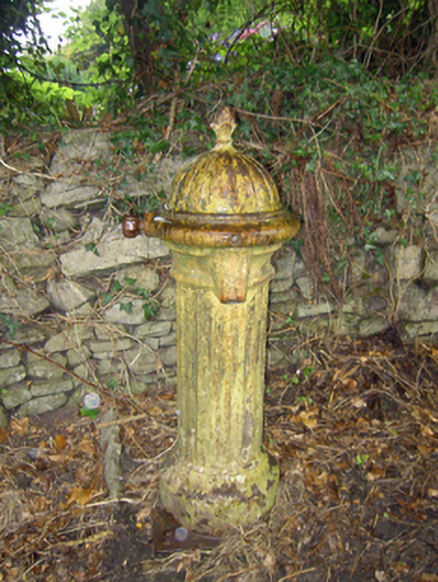 water pumpwater pump · 1161 yd
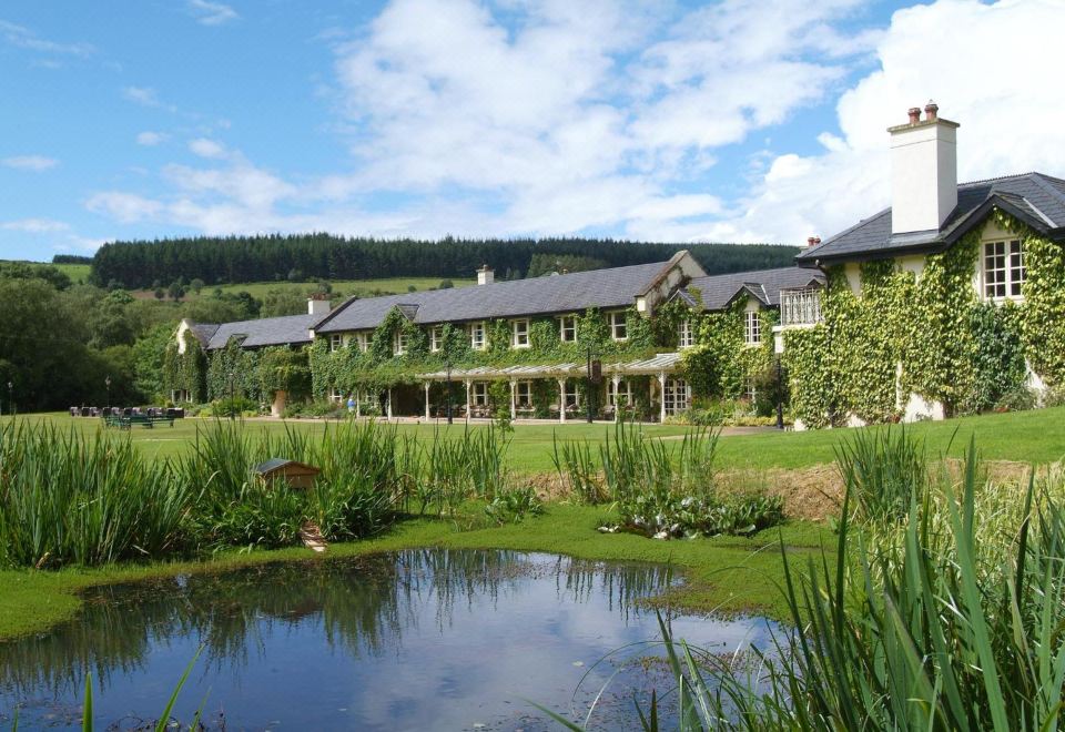 Brooklodge HouseCountry house · 1209 yd
 Grave YardGraveyard · 1216 yd
 Architectural fragment in BallinglannaArchitectural fragment · 1.4 mi
 Ashbourne ParkWood · 1.5 mi
 Castle (in Ruins)Castle, tower house · 1.8 mi
 Harper's IslandIslet · 2.4 mi
 Thomas Kent StationMemorial · 4.6 mi
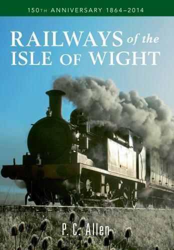 150th Anniversary of Railways in CorkMemorial · 4.6 mi
 Cork WalksVisitor information · 4.9 mi