What is recorded here
Cooleyhilly held a thirty-five-metre earthen ring that men ploughed flat around 1865, erasing the fort but not its shadow. The land still betrays the lost circle through uneven crop growth and soil colour, proving that earth remembers what humanity forgets.
Shown on 1842 OS 6-inch map as circular enclosure (diam. c. 35m). Differential soil colour after ploughing and crop growth indicate position of site. According to local information, levelled c. 1865.
The above description is derived from the published 'Archaeological Inventory of County Cork. Volume 2: East and South Cork' (Dublin: Stationery Office, 1994). In certain instances the entries have been revised and updated in the light of recent research.
Date of upload/revision: 14 January 2009
A fairy fort or earthen ringfort in Coolyrahilly, likely an early-medieval agricultural or defensive enclosure, was depicted on the 1842 Ordnance Survey map as a circular structure with a diameter of about 35 metres. Local tradition and the site's name suggest a connection to Irish folklore associating such mounds with fairies or other supernatural beings.
The monument record does not grant public access. Check the route and ask the landowner before entering private land.
- What survives
- Recorded monument
Places near here
 Ringfinnan 9/11 Garden of RemembranceMemorial · 1608 yd
 The Moving StatueHeritage attraction · 1.2 mi
 bridgebridge · 1.4 mi
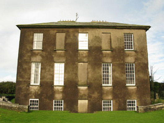 Ballywilliamcountry house · 1.5 mi
 Courtaparteen Famine VillageWood · 1.5 mi
 Grave YdGraveyard · 1.6 mi
 Ringrone CastleCastle · 1.6 mi
 Ringrone Castle (in Ruins)Castle, tower house · 1.6 mi
 Blacks Brewery & DistilleryHeritage attraction · 1.7 mi
 Ladys WellHoly well · 1.7 mi
 Sandy Cove IslandIslet · 1.9 mi
 Kilmore WoodWood · 2.0 mi