What is recorded here
Cooltomin holds a thirty-two-metre earthen ring where limestone bones still push through the soil. Cattle once grazed its edges while people forgot the middle, but the bank never broke. It bent the field boundary instead of disappearing, proving that memory can wear a pastoral shape. Shadows move across its trees at dusk, and no one has measured how deep the forgotten chamber reaches beneath the grass.
In pasture, on low-lying gently undulating terrain, in area of outcropping limestone. Circular area (32m N-S; 31.2m E-W) enclosed by earth-and-stone bank (int. H 0.4m; ext. H 0.3m), incorporated into field boundary NE->SSW, with field wall (H 0.65m; Wth 0.8m) running along top NE->SE and SSE->SSW. Level interior, under rough pasture littered with loose stones, is covered by mature deciduous trees.
Compiled by: Denis Power
Date of upload: 26 August 2011
The monument record does not grant public access. Check the route and ask the landowner before entering private land.
- What survives
- Recorded monument
Places near here
 Annes Fort - IndicatedFairy fort / earthen ringfort · 546 yd
 Anne's FortArchaeological place · 553 yd
 post boxpost box · 1122 yd
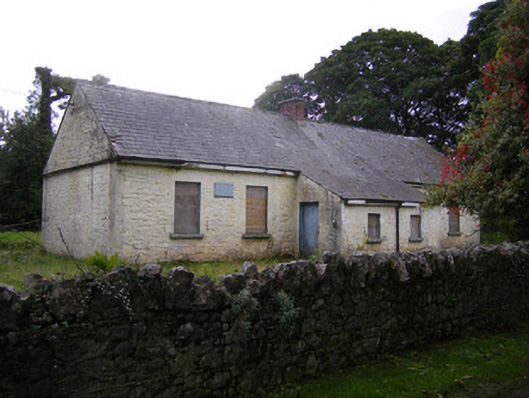 Nutgrove National Schoolschool · 1316 yd
 CastleCastle, unclassified · 1.6 mi
 Lismakeery Castle (in ruins)Castle, tower house · 1.8 mi
 St. Kieran's WellSpring · 2.9 mi
 TobernablahySpring · 3.1 mi
 Askeaton CastleHeritage attraction · 3.7 mi
 Holly IslandIslet · 4.4 mi
 Foynes Flying Boat & Maritime MuseumMuseum · 5.4 mi
 European ashEuropean ash · 5.4 mi