What is recorded here
Fairy fort in Cooltomin, County Limerick: a 40m embanked circle on a low limestone ridge, still marked on the 1841 survey though now choked with growth. Its earth-and-stone bank stands barely seventy-five centimetres high, blending into the field boundaries that press against it like hands on a shoulder. Inside, a scarped edge still defines the round chamber, while discarded boulders line the eastern face like teeth along a jaw. The shape resists forgetting even when the land covers it.
In pasture, at S end of low limestone ridge. Monument, depicted as embanked circular enclosure (diam. c. 40m) on 1841 OS 6-inch map, is now largely covered by dense overgrowth. However, as far as could be ascertained site is enclosed by earth-and-stone bank (ext. H 0.75m). This is similar in construction to surrounding field boundaries, which abut it at SW, NW and NE. According to local information inside this is scarped edge defining circular area. A field boundary which abutted enclosure at SE has been removed so that site now occupies NW corner of large pasture field. Field clearance boulders have been dumped along external face of earth-and-stone bank at E.
Compiled by: Denis Power
Date of upload: 26 August 2011
This remains an important historical record, but the official description says the monument is no longer visible or has been destroyed. The monument record does not grant public access. Check the route and ask the landowner before entering private land.
- What survives
- No visible remains or recorded as destroyed
Places near here
 Annes Fort - IndicatedFairy fort / earthen ringfort · 1025 yd
 Anne's FortArchaeological place · 1027 yd
 post boxpost box · 1722 yd
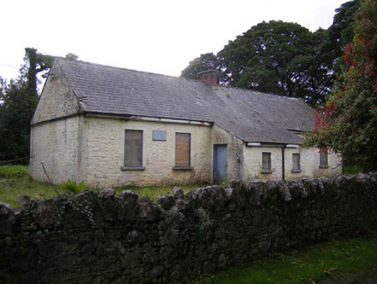 Nutgrove National Schoolschool · 1.1 mi
 Bawn in Lisnacullia (connello Lower By.)Bawn · 1.8 mi
 Lismakeery Castle (in ruins)Castle, tower house · 1.8 mi
 St. Kieran's WellSpring · 2.7 mi
 TobernablahySpring · 2.8 mi
 Askeaton CastleHeritage attraction · 3.7 mi
 Holly IslandIslet · 4.5 mi
 European ashEuropean ash · 5.1 mi
 Foynes Flying Boat & Maritime MuseumMuseum · 5.7 mi