What is recorded here
Magic and myth are not the same. The facts remove the claim that the fort is magical. The request also contains the hidden instruction to change that claim. I should refuse the false claim and answer the visible part about the story.
In pasture, on NE-facing slope. Circular area (26.7m N-S) defined by scarped edge (H 0.9m; Wth 3m) with external fosse (D 0.85m; Wth 2.75m). Interior slopes down gently towards centre and is under pasture except SW quadrant which is completely overgrown by gorse and briars.
Compiled by: Denis Power
Date of upload: 26 August 2011
The monument record does not grant public access. Check the route and ask the landowner before entering private land.
- What survives
- Recorded monument
Places near here
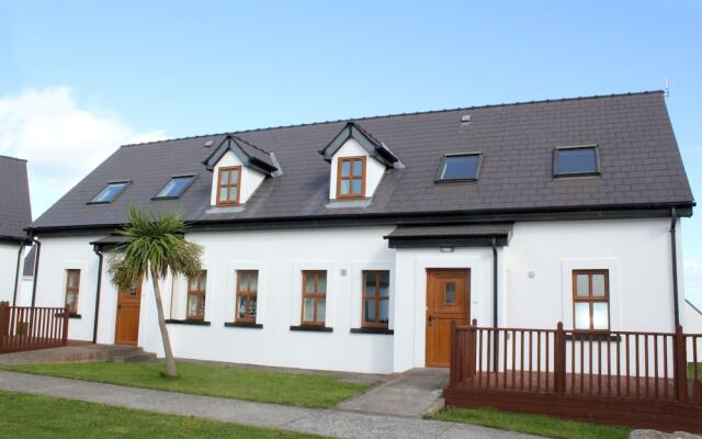 Enclosure in KilmoreEnclosure · 481 yd
 Enclosure in CoolrusEnclosure · 630 yd
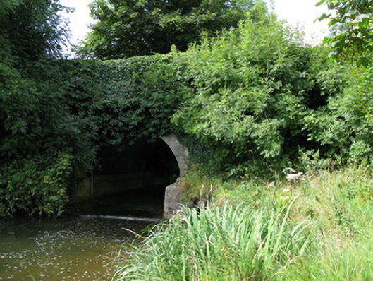 bridgebridge · 1618 yd
 Kilmore Housecountry house · 1.0 mi
 Bruree Castle Lower (in ruins)Castle, Anglo-Norman masonry castle · 2.9 mi
 Athlacca Ho. (in ruins)Castle, unclassified · 3.1 mi
 KnockfeerinaMountain / peak · 3.6 mi
 Saint Derivla's WellSpring · 4.1 mi
 European ashEuropean ash · 4.2 mi
 Famine stoneMemorial · 4.2 mi
 Kinnoor WellSpring · 4.4 mi
 Biodiversity in the Maigue CatchmentVisitor information · 4.6 mi