What is recorded here
Located on a fairly steep W-facing slope, with a N-S stream c. 60m to the W. The faint cropmark of a D-shaped enclosure (diam. c. 30m NW-SE; c. 20m NE-SW) defined by a single fosse feature but truncated by a NW-SE section of road at NE is visible on aerial photographs (ASIAP (9) 20-22). A house had been built just outside it at SW by c. 2013 (digitalglobe).
Compiled by: Michael Moore
Date of upload: 23 July, 2013
Amended: 30 March 2021
The monument record does not grant public access. Check the route and ask the landowner before entering private land.
- What survives
- Recorded monument
Places near here
 Field boundary in BaylestownField boundary · 678 yd
 Baylestown Housefarm house · 977 yd
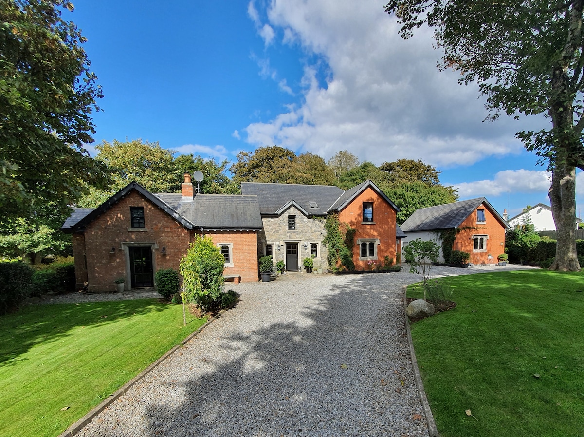 EnclosureFairy fort / earthen ringfort · 1026 yd
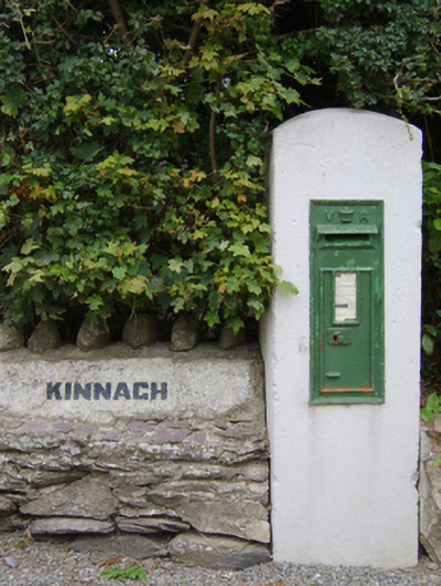 post boxpost box · 1274 yd
 Lockheed Hudson AM885 MemorialMemorial · 1353 yd
 1798Memorial · 1.7 mi
 Bawn in TaylorstownBawn · 2.2 mi
 Site of CastleCastle, unclassified · 2.3 mi
 Tinnock RockNamed rock · 3.4 mi
 Common WhitebeamCommon Whitebeam · 3.9 mi
 Grange BeachBeach / strand · 3.9 mi
 DuncannonBeach / strand · 4.4 mi