What is recorded here
Mature conifers now choke the entrance and bury the causeway, but the earthen bank still stands 1.25m high around a circular space 31m wide. It faces east along the Owenbaun River valley, presenting a broad 6m gap where a person or cart might have entered. The trees have turned a practical defensive ring into a dark green maze, hiding the very view the builders chose.
In pasture, on E-facing slope, with commanding view NE along Owenbaun River valley. Circular, slightly raised area (31m N-S; 28.5m E-W) enclosed by earthen bank (H 1.25m); external fosse (D 1.45m) E->NE; low counterscarp bank E->SSW. Entrance (Wth 6m) to E, with causeway; gaps in bank to NE and W. Interior, bank and fosse thickly planted with mature coniferous trees. Broker (1937, 47) records 'double fence' enclosing interior.
The above description is derived from the published 'Archaeological Inventory of County Cork. Volume 3: Mid Cork' (Dublin: Stationery Office, 1997). In certain instances the entries have been revised and updated in the light of recent research.
Date of upload/revision: 14 January 2009
A fairy fort or earthen ringfort in Coolnagillagh Lower, likely an early-medieval defensive or agricultural site, with a circular enclosure, bank, and fosse. Local tradition associates such sites with fairy dwellings, and they were often avoided due to supernatural beliefs.
The monument record does not grant public access. Check the route and ask the landowner before entering private land.
- What survives
- Recorded monument
Places near here
 BarrowBarrow, ring-barrow · 426 yd
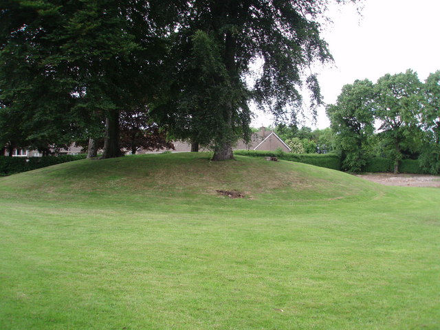
 IndicatedFairy fort / earthen ringfort · 539 yd
 TumulusKiln, lime · 1255 yd
 KilnKiln, lime · 1723 yd
 Castle and TurretCastle, tower house · 1.8 mi
 Millstreet Tourist InformationVisitor information · 2.2 mi
 St. Patrick's ChurchVisitor information · 2.2 mi
 Millstreet Museum & Tourist Information CentreMuseum · 2.3 mi
 Rathcool WoodWood · 2.4 mi
 Blackwater (Duhallow) WayWalking route · 2.4 mi
 RowanRowan · 2.5 mi
 Dromsicane Castle (in Ruins)Bawn · 2.6 mi