What is recorded here
Coolnacrutta holds a twenty-five metre earthen ring on the flat Goul valley floor, surrounded by cultivated fields that press against its base. The western gap probably appeared recently, yet the main bank remains standing with a faded memory of the ditch that once encircled it. People may have lived inside, feared the fairies, or simply missed the trouble of digging through solid earth.
In flat reclaimed and cultivated land of the floor of the Goul river valley. A circular area (daim. c. 25m) enclosed by an earthen bank (Wth 4m; int. H 1.4m; ext. H 1.5m). An external fosse, depicted on the 1899 ed. OS 6-inch map, has been filled in. The surrounding fields have been cultivated up to the base of the bank. There is a gap (Wth 3m) in the bank in the W quadrant which is probably modern.
Compiled by: Jean Farrelly
Date of upload: 2 February 2016
The monument record does not grant public access. Check the route and ask the landowner before entering private land.
- What survives
- Recorded monument
Places near here
 Enclosure in GlashareEnclosure · 406 yd
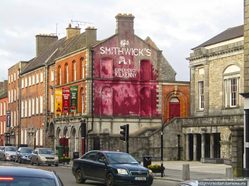 Glashare Ringfort (rath)Archaeological place · 877 yd
 Glashare CastleCastle, tower house · 1029 yd
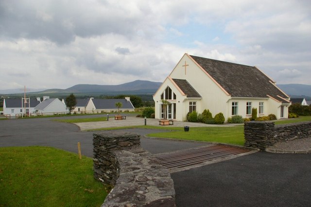 Church in GlashareChurch · 1053 yd
 Street fieldArchaeological place · 1157 yd
 Abbey (in ruins)Religious house, unclassified · 1674 yd
 Bawn in AghmacartBawn · 1.6 mi
 Cnoc SeanrathaMemorial · 3.1 mi
 DelaneyMemorial · 3.6 mi
 Clomantagh HillMountain / peak · 3.9 mi
 Big WoodWood · 4.1 mi
 Anker's IslandIsland · 6.7 mi