What is recorded here
Much of the fort has vanished, leaving a shallow circular scar in the grass beside the Goul river. What remains is a thin earth ridge, barely visible unless the light lies low and the land gives up its shape. The fort is not gone entirely. It has withdrawn into the soil, waiting for rain, foot traffic or patience to reveal how large it once was.
On a slight natural rise, just below the crest of a NW-facing slope, in reclaimed grassland in the Goul river valley. A circular area (diam. c. 30m) enclosed by a much degraded earthen bank (Wth 4m; H 0.2-0.4m). The interior is level.
Compiled by: Jean Farrelly
Date of upload: 2 February 2016
The monument record does not grant public access. Check the route and ask the landowner before entering private land.
- What survives
- Recorded monument
Places near here
 Enclosure in GlashareEnclosure · 951 yd
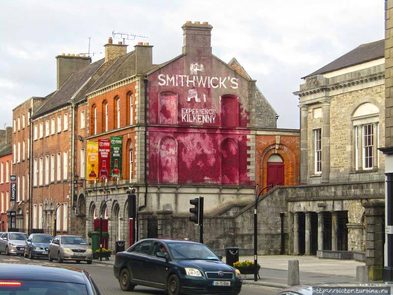 Glashare Ringfort (rath)Archaeological place · 1133 yd
 Glashare CastleCastle, tower house · 1262 yd
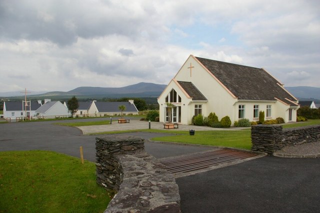 Church in GlashareChurch · 1309 yd
 Street fieldArchaeological place · 1444 yd
 Abbey (in ruins)Religious house, unclassified · 1.1 mi
 Bawn in AghmacartBawn · 1.5 mi
 Cnoc SeanrathaMemorial · 2.9 mi
 DelaneyMemorial · 3.6 mi
 Big WoodWood · 4.0 mi
 Clomantagh HillMountain / peak · 4.1 mi
 Anker's IslandIsland · 6.9 mi