What is recorded here
Coolmona held one of five ringforts spaced along the Shournagh River valley, a circular earthwork wide enough for a small household but now erased. Men levelled the ridge in 1972 while clearing a field fence, trusting the brightness of the pasture more than the memory embedded in its soil. The fort did not vanish; it stopped being visible.
In pasture. Depicted as hachured, roughly circular enclosure (diam. c. 35m) on 1842, 1904 and 1939 OS 6-inch maps. According to local information, levelled c. 1972 during field fence clearance; no visible surface trace. Hartnett (1939, 184) recorded a diameter of 130 ft (approximately) 'enclosed by modern fence on which is planted a thick hedge', with entrance to W. One of five ringforts (CO050-120----; CO050-121----; CO050-122----; CO050-124----), evenly spaced over a distance of 800m along S-facing slope of Shournagh River valley.
The above description is derived from the published 'Archaeological Inventory of County Cork. Volume 3: Mid Cork' (Dublin: Stationery Office, 1997). In certain instances the entries have been revised and updated in the light of recent research.
Date of upload/revision: 14 January 2009
The monument record does not grant public access. Check the route and ask the landowner before entering private land.
- What survives
- Recorded monument
Places near here
 Lackabane LiosFairy fort / earthen ringfort · 667 yd
 farm housefarm house · 731 yd
 New TipperaryVisitor information · 873 yd
 Grave YardGraveyard · 1.0 mi
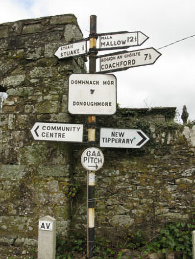 sign postsign post · 1.0 mi
 Ballyvodane Castle (in Ruins)Castle, unclassified · 2.2 mi
 Saint Bartholomew's WellSpring · 2.7 mi
 Knockduff Wind FarmVisitor information · 3.7 mi
 Lyradane MountainMountain / peak · 3.9 mi
 Oldcastle WoodWood · 4.1 mi
 Rock HillMountain / peak · 4.9 mi
 Carrignamuck Tower HouseCastle · 4.9 mi