What is recorded here
Near the top of the W-facing slope of a ridge. A circular raised area (22m N-S; 19m E-W) enclosed by an earthen bank (Wth 3.5m; int. H 1m; ext. H 1.3m) which is best preserved along the E arc. Remains of a stone revetment are evident on the internal and external bank face. There is a curved platform (3m E-W; H 0.4m) on the inside of the bank along the E arc. An external fosse (Wth 3m) is marked by a line of rushes along the S and SE arcs with faint traces on the W arc. The entrance (Wth 1.7m) is at S, the E side of which is faced with large boulders. A field boundary cuts across the fosse at E and continues curving around the outside edge of the fosse on the N arc.
The above description is derived from the published 'Archaeological Inventory of County Sligo' compiled by Ursula Egan, Elizabeth Byrne, Mary Sleeman with Sheila Ronan and Connie Murphy (Dublin Stationery Office, 2005).
Date of upload: 18 January 2008
The monument record does not grant public access. Check the route and ask the landowner before entering private land.
- What survives
- Recorded monument
Places near here
 Penitential station in CoollemoneenPenitential station · 381 yd
 IndicatedEnclosure · 524 yd
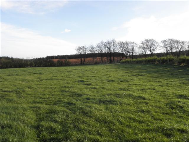 LisglassFairy fort / earthen ringfort · 628 yd
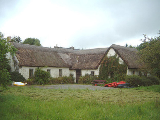 Nasool Cottagehouse · 1.1 mi
 CastleCastle, motte and bailey · 1.1 mi
 Barroe NorthMountain / peak · 1.8 mi
 Geevagh Prisoners 1908 MemorialMemorial · 2.3 mi
 Ballindoon Castle (in Ruins)Castle, unclassified · 2.6 mi
 Carrane HillCliff · 2.8 mi
 InishmoreIslet · 3.2 mi
 Annaghgowla IslandIslet · 3.3 mi
 Loughbrick BayBay · 3.7 mi