What is recorded here
Half a circle of earth still bumps the pasture at Coolcloher West, though ploughs and time have swallowed the rest. The field fence bends around the ghost rather than cutting through it, as if the land still knows the shape of the fort beneath the grass.
In pasture, on gentle N-facing slope. Depicted as hachured circular enclosure (diam. c. 28m) on 1842 OS 6-inch map; W half indicated on 1904 and 1937 OS 6-inch maps. Levelled; slight rise remains in area of site. Field fence curves to SW to respect site. Circular enclosure visible as cropmark of bank in aerial photograph (GSIAP, W402). Bowman (1934, 278) records single-ramparted ringfort (diam. c. 32yd) on D. Guerin's land; 'about half of circuit stands' (H c. 3ft).
The above description is derived from the published 'Archaeological Inventory of County Cork. Volume 4: North Cork' (Dublin: Stationery Office, 2000). In certain instances the entries have been revised and updated in the light of recent research.
Date of upload/revision: 14 January 2009
The monument record does not grant public access. Check the route and ask the landowner before entering private land.
- What survives
- Recorded monument
Places near here
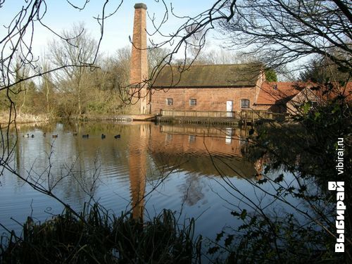 Man-made underground passage (Site of)Man-made underground passage · 1153 yd
 Man-made underground passage in Cloonbannin EastMan-made underground passage · 1321 yd
 Drominagh Castle (Site of)Castle, unclassified · 1.4 mi
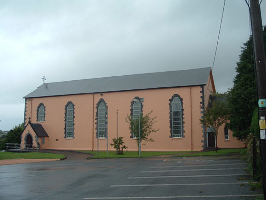 Church of the Presentation of Our Ladychurch/chapel · 1.7 mi
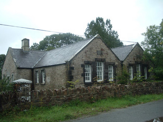 Old School Houseschool · 1.7 mi
 Castle (Site of)Bawn · 3.2 mi
 Battle of Knocknaclashybattle · 4.5 mi
 Rathcool WoodWood · 4.6 mi
 Kanturk CastleHeritage attraction · 6.2 mi
 RowanRowan · 6.8 mi
 St Fursey's WellSpring · 7.4 mi
 Mount Hillary - Knightfield LoopWalking route · 8.3 mi