What is recorded here
Fairy fort in Coolcloher East, County Cork: a levelled earthen ringfort, 34.5m across, on a gentle NE-facing pasture slope. Its bank still rises 1.55m outside and 0.55m inside along part of the circle, though ploughs and feet have worn much of it flat. In 1934 Bowman called it practically levelled on D. MacSweeney's land, about 41 yards wide. The fairies may have done the levelling themselves, taking back what they lent to human fields.
In pasture, on gentle NE-facing slope. Depicted as hachured circular enclosure on 1842 OS 6-inch map. Levelled; circular area (diam. 34.5m) defined by earthen bank (int. H 0.55m; ext. H 1.55m) WSW->NE and by low rise NE->ESE. Bowman (1934, 279) 'practically levelled' single-ramparted fort (diam. c. 41yd) on D. MacSweeney's land.
The above description is derived from the published 'Archaeological Inventory of County Cork. Volume 4: North Cork' (Dublin: Stationery Office, 2000). In certain instances the entries have been revised and updated in the light of recent research.
Date of upload/revision: 14 January 2009
The monument record does not grant public access. Check the route and ask the landowner before entering private land.
- What survives
- Recorded monument
Places near here
 Man-made underground passage in Cloonbannin EastMan-made underground passage · 882 yd
 Man-made underground passage (Site of)Man-made underground passage · 1320 yd
 Drominagh Castle (Site of)Castle, unclassified · 1.0 mi
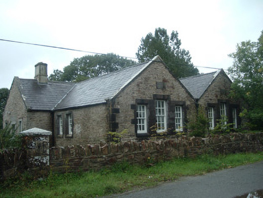 Old School Houseschool · 1.5 mi
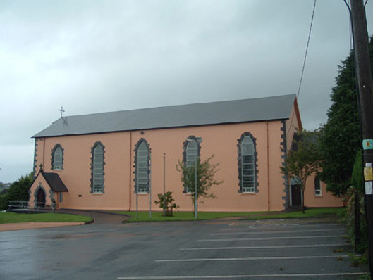 Church of the Presentation of Our Ladychurch/chapel · 1.5 mi
 Castle (Site of)Bawn · 2.9 mi
 Battle of Knocknaclashybattle · 4.2 mi
 Rathcool WoodWood · 4.3 mi
 Kanturk CastleHeritage attraction · 5.9 mi
 RowanRowan · 6.7 mi
 St Fursey's WellSpring · 7.1 mi
 Mount Hillary - Knightfield LoopWalking route · 8.0 mi