What is recorded here
Coolcloher East holds a levelled ringfort where a low rise still marks a twenty-nine metre circle. Cattle now walk the pasture above the buried rampart, unaware they graze the remains of a human dwelling. The fort has lost much of its shape, but the ground keeps the memory of a boundary drawn in soil.
In pasture, on nearly level ground. Depicted as hachured circular enclosure (diam. c. 25m) on 1842 OS 6-inch map. Levelled; circular area (diam. 29m) defined by low rise (ext. H 0.6m); slight external depression to NW, N and E. Bowman (1934, 279) recorded levelled single-ramparted fort (diam. c. 29yd) on M. Hegarty's land.
The above description is derived from the published 'Archaeological Inventory of County Cork. Volume 4: North Cork' (Dublin: Stationery Office, 2000). In certain instances the entries have been revised and updated in the light of recent research.
Date of upload/revision: 14 January 2009
The monument record does not grant public access. Check the route and ask the landowner before entering private land.
- What survives
- Recorded monument
Places near here
 Man-made underground passage in Cloonbannin EastMan-made underground passage · 858 yd
 Fulacht fia in Cloonbannin WestFulacht fia · 1506 yd
 Drominagh Castle (Site of)Castle, unclassified · 1.2 mi
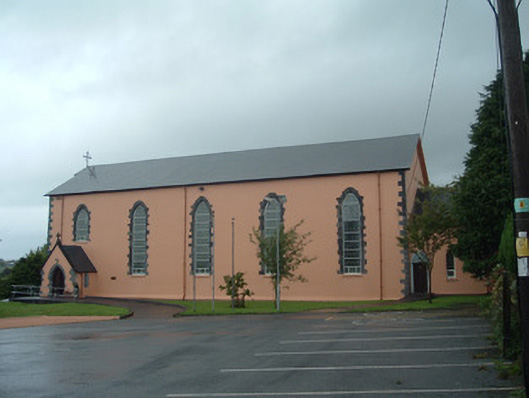 Church of the Presentation of Our Ladychurch/chapel · 1.4 mi
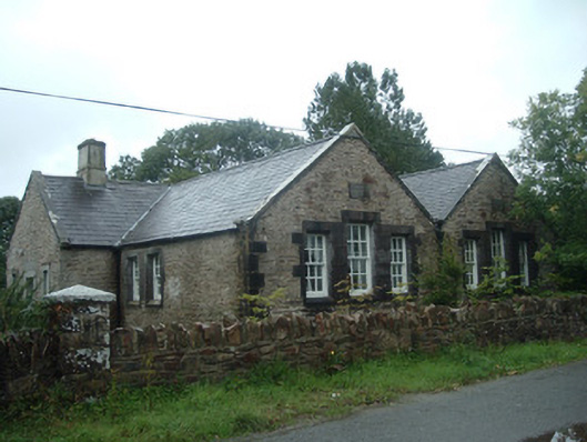 Old School Houseschool · 1.4 mi
 Castle (Site of)Bawn · 3.1 mi
 Battle of Knocknaclashybattle · 4.3 mi
 Rathcool WoodWood · 4.4 mi
 Kanturk CastleHeritage attraction · 6.1 mi
 RowanRowan · 6.5 mi
 St Fursey's WellSpring · 7.3 mi
 Mount Hillary - Knightfield LoopWalking route · 8.2 mi