What is recorded here
Fairy fort in Coolcaw, County Longford: a circular earthwork about thirty metres across, marked ‘Fort’ on the 1837 Ordnance Survey map but largely levelled by 1976. It stood in wet, level pasture, its bank and outer ditch reduced to a faint trace beneath grass and traffic of hooves. People may have lived, hidden or gathered there before ploughs and boots erased the edge; the fairies, in local speech, keep what humanity stops seeing.
In level, poorly drained pasture. Depicted as a circular enclosure with the designation 'Fort' on the 1837 ed. of the OS 6-inch map. A report in 1976 (SMR file) recorded that the monument had been largely levelled. However, the outline of the enclosing elements, a bank and external fosse, could be traced enclosing a roughly circular area (diam. c. 30m). Not visible at ground level.
Compiled by: Patrick F. O'Donovan
Date of upload: 30 November 2011
The monument record does not grant public access. Check the route and ask the landowner before entering private land.
- What survives
- Recorded monument
Places near here
 post boxpost box · 1151 yd
 Burial in Back OF THE HillBurial · 1711 yd
 Enclosure in Cross (ardagh By.)Enclosure · 1.0 mi
 Ardagh DemesneFort · 1.2 mi
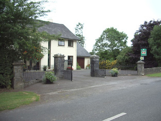 Ardkengates/railings/walls · 1.5 mi
 MoatCastle, motte · 1.7 mi
 Oldtown CopseWood · 2.2 mi
 Edgeworthstown BypassMemorial · 2.3 mi
 Oldtown DemesneForest · 2.3 mi
 National Famine WayWalking route · 4.6 mi
 Graveyard in Curry (ardagh By., Coolamber Ed)Graveyard · 7.0 mi
 Granard MotteMotte-and-bailey castle remains · 9.5 mi