What is recorded here
Coolbeg held a subcircular embanked enclosure wide enough for dozens of people to circle twice before it vanished. The 1838 map drew its honest shape, the 1946 map reduced it to a smaller mound, and by 1983 even that memory had smoothed into ordinary ground. A field boundary clipped its eastern edge, proving the fort belonged to the living landscape rather than a forgotten myth. Its disappearance does not make it fake; it makes the soil a keeper of changed minds.
Marked on the 1838 edition of the OS 6-inch map as subcircular embanked enclosure (c. 41m N-S; c. 37m E-W) and on the 1946-7 revision as a circular mound (diam. c. 25m). A field boundary, running N-S, clipped it at E. On inspection in April 1983 no visible surface trace survived.
Compiled by: Galway Archaeological Survey, UCG
Date of upload: 6 August 2019
The monument record does not grant public access. Check the route and ask the landowner before entering private land.
- What survives
- Recorded monument
Places near here
 Enclosure in SomersetEnclosure · 592 yd
 LisheencloghFairy fort / earthen ringfort · 631 yd
 European BeechEuropean Beech · 1075 yd
 European YewEuropean Yew · 1453 yd
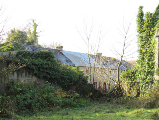 Gortnamonaoutbuilding · 1458 yd
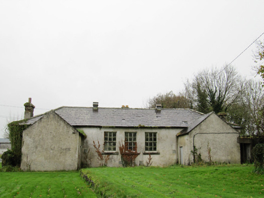 Clontuskert National Schoolschool · 1.1 mi
 Oghil Castle (in ruins)Castle, tower house · 2.0 mi
 Ballagh Castle (in Ruins)Castle, unclassified · 2.2 mi
 Ardcarn IslandsIslet · 3.7 mi
 Urraghry HillMountain / peak · 3.8 mi
 The bloody HollowHeritage attraction · 4.0 mi
 Redmond HillMountain / peak · 4.2 mi