What is recorded here
Coolballyshane holds a thirty-one metre earthen ring on a gentle eastern slope, marked by a shallow fosse, a stone-speckled causeway, and a bank still standing along the south arc. It is the kind of place where ordinary pasture hides a made boundary, as if people once drew a circle around daily life and left it behind. The fairies may have taken the name, but the earth remembers the shape of human choice.
In pasture, on gentle E-facing slope, immediately below top of low rise. Circular area (diam. 31m) enclosed by earthen bank with external fosse (D 0.45m; Wth 2.95m), and earth-and-stone counterscarp bank NNW->SSW (H 0.8m). Inner bank (int. H 0.45m; ext. H 1.85m), best preserved along S arc, is masked by overgrowth SW->NNW. Dip in bank at E matched by causeway (Wth 3.4m) across fosse. Fosse is littered with loose stones. Level interior, now under pasture but recently cleared of overgrowth.
Compiled by: Denis Power
Date of upload: 26 August 2011
See attached ASI aerial photographs ASIAP – taken on 04/03/2006.
The monument record does not grant public access. Check the route and ask the landowner before entering private land.
- What survives
- Recorded monument
Places near here
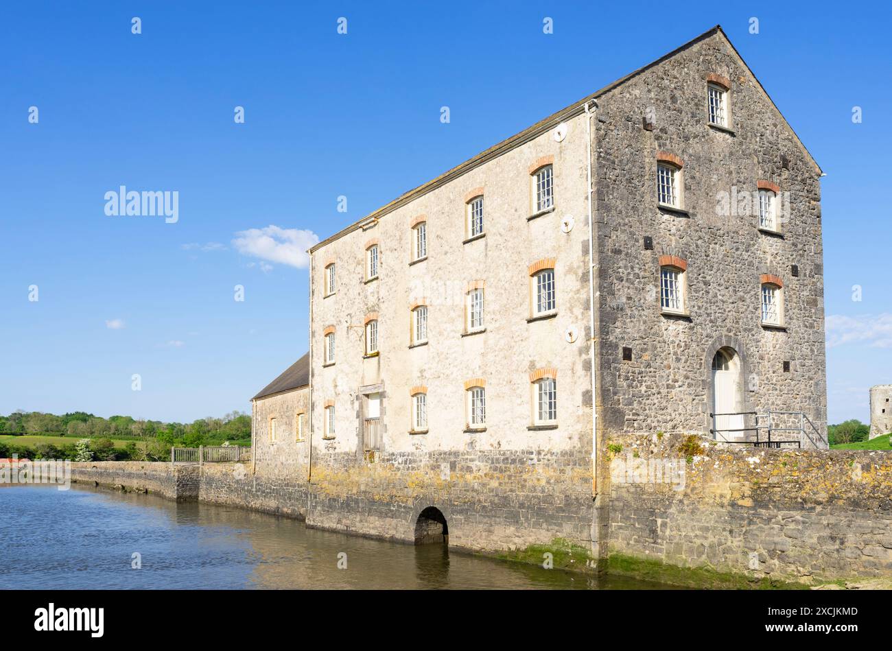 Clonshire Mill (Corn)Mill, corn · 213 yd
 Enclosure in CroaghEnclosure · 503 yd
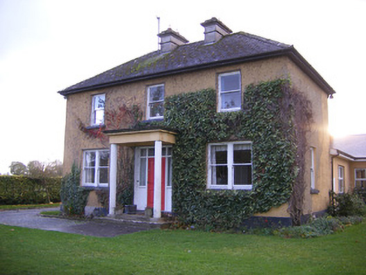 Castle Farm Househouse · 937 yd
 Clonshire CastleCastle · 941 yd
 ExcavationExcavation, miscellaneous · 1146 yd
 Garraunboy CastleCastle · 1302 yd
 Flat cemetery in Kiltenan SouthFlat cemetery · 1.4 mi
 Flat cemetery in CroaghFlat cemetery · 1.6 mi
 GinkgoGinkgo · 3.1 mi
 European YewEuropean Yew · 3.1 mi
 Desmond CastleHeritage attraction · 3.3 mi
 Adare Desmond CastleMedieval castle · 3.3 mi