What is recorded here
Situated on NE-facing slope of a high hill, in pasture, with commanding views to N and E. Ringfort (WM031-016----) lies c. 100m to NW. Depicted on the 1910 ed. OS 25-inch map as a subcircular-shaped earthwork. Monument described in 1973 as a roughly circular-shaped area (diam. 39m) enclosed by an earth and stone bank and external fosse. The bank has been partially levelled from ENE-E-ESE where the entrance may have been located. The fosse has been infilled from NE-E-ESE. The interior has a gentle NE-facing slope and the surface is cut by a number of cultivation ridges. Monument is visible today as a roughly circular-shaped tree-lined earthwork on Digital Globe aerial photography.
Compiled by Alison McQueen, Vera Rahilly and Caimin O’Brien.
Date of upload: 12 November 2019
A fairy fort or earthen ringfort in Coolatoor, likely dating to the early medieval period, is situated on a prominent hillside with extensive views. It is associated with local folklore surrounding faeries and ancient habitation, though specific historical records are scarce.
The monument record does not grant public access. Check the route and ask the landowner before entering private land.
- What survives
- Recorded monument
Places near here
 KnockastiaMountain / peak · 399 yd
 Ancient Chapel (in Ruins)Church · 821 yd
 Partially hachuredFairy fort / earthen ringfort · 832 yd
 ToberavillHoly well · 875 yd
 Japanese pagoda treeJapanese pagoda tree · 1043 yd
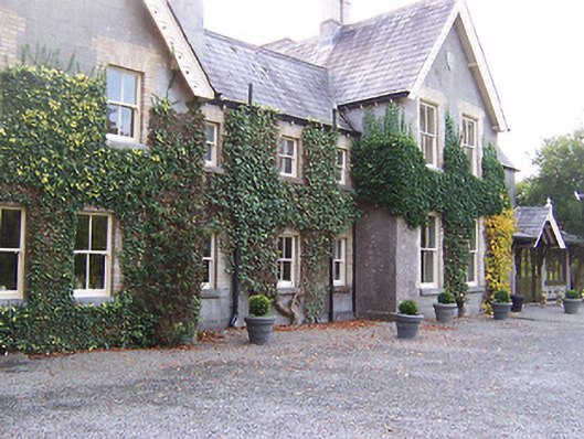 Coolatoor Househouse · 1065 yd
 Bishopstown Castle in ruinsCastle, unclassified · 1277 yd
 Sam's ParkForest · 1.5 mi
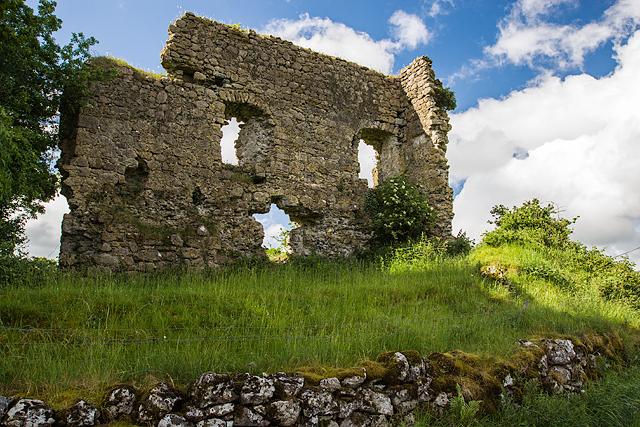 Laragh CastleCastle · 1.6 mi
 Kilmalady HillMountain / peak · 4.9 mi
 Charles BianconiMemorial · 5.1 mi
 The Bob Traynor GalleryGallery · 5.1 mi