What is recorded here
Coolanoran’s fairy fort was a twenty-metre earthen ring on the western bank of the River Deel. It disappeared completely, leaving only rough pasture and a faint memory of boundaries. The land swallowed the fort, but the story remains: small human hands built a circle large enough to hold a life, then the field erased the evidence.
In rough pasture, on W bank of River Deel. Monument, depicted as circular enclosure (diam. c. 20m) on 1924 OS 6-inch map, has been levelled. No trace of monument evident when inspected. Immediate vicinity of site marked by area of rough ground. Surrounding field boundaries have been removed.
Compiled by: Denis Power
Date of upload: 26 August 2011
The monument record does not grant public access. Check the route and ask the landowner before entering private land.
- What survives
- Recorded monument
Places near here
 BarrowBarrow, ditch barrow · 465 yd
 Grange Church (in ruins)Church · 533 yd
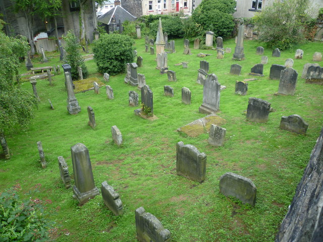 Burial GroundGraveyard · 549 yd
 Grange BridgeBridge · 623 yd
 Templars Castle (in ruins)Castle, Anglo-Norman masonry castle · 2.1 mi
 CastleCastle, tower house · 2.8 mi
 European ashEuropean ash · 2.9 mi
 St. Luke's WellSpring · 3.1 mi
 St. Kieran's WellSpring · 3.2 mi
 Limerick GreenwayWalking route · 5.2 mi
 Sugar HillMountain / peak · 6.6 mi
 Ballagh MountainMountain / peak · 7.5 mi