What is recorded here
Coolagowan holds a forty-five metre earthen ring that resisted even official measurement because a local owner refused entry. The boundary remains intact, not through forgotten grandeur but through ordinary human pride. That refusal transformed a measurable monument into a living mystery, preserving the fort from clinical description and returning it to the region's imagined depth.
Monument, depicted as embanked sub-circular enclosure (diam. c. 45m) on 1924 OS 6-inch map, was not inspected the landowner refused the Survey permission to inspect this site.
Compiled by: Denis Power
Date of upload: 26 August 2011
The monument record does not grant public access. Check the route and ask the landowner before entering private land.
- What survives
- Recorded monument
Places near here
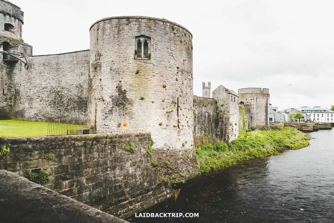 Cooreagh Fort - HachuredFairy fort / earthen ringfort · 482 yd
 Our Lady's WellSpring · 1198 yd
 Castle (in ruins)Castle, hall-house · 1237 yd
 IndicatedCastle, motte · 1310 yd
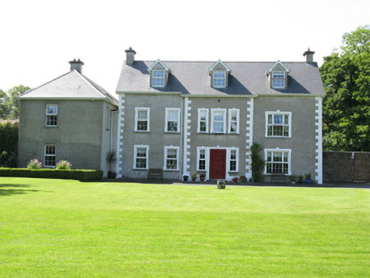 Castletown Conyerscountry house · 1367 yd
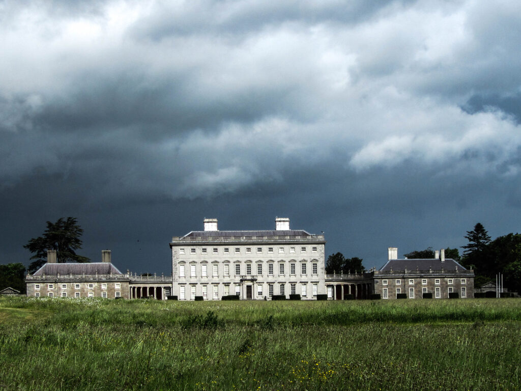 Enclosure in Castletown (connello Upper By.)Enclosure · 1403 yd
 Church (in ruins)Church · 1614 yd
 Saint Derivla's WellSpring · 1741 yd
 KnockfeerinaMountain / peak · 4.6 mi
 Famine stoneMemorial · 4.6 mi
 National Co-op MuseumMuseum · 6.1 mi
 Mullaghareirk - Banane LoopWalking route · 12 mi