What is recorded here
Fairy fort in Coolagowan, County Limerick: a roughly circular rath, 36 metres across, with two earthen banks and a causeway entrance at the northwest. The outer bank has been cut back on the east and south by a field boundary, but the inner bank still rises a metre through bushes and the flat interior remains under pasture. People may have lived there, excluded others at the causeway, and forgotten the name of the first hand that shaped the clay.
In undulating marshy pasture. Roughly circular area (36.4m N-S; 36m E-W) enclosed by two concentric earthen banks. Inner bank (int. H 0.3m; ext. H 1.1m) covered by trees and bushes. External bank (int. H 0.5m; ext. H 0.25m) only evident SW->WNW and NW->NE; it has been truncated by field boundary on E and S sides. Intervening flat-bottomed fosse (Wth c. 3.1m) covered in places by rushes. Causeway entrance (Wth c. 2m) at NW; at NE is gap only in inner bank (Wth 2.5m). Level interior under pasture.
Compiled by: Denis Power
Date of upload: 26 August 2011
The monument record does not grant public access. Check the route and ask the landowner before entering private land.
- What survives
- Recorded monument
Places near here
 Cooreagh Fort - HachuredFairy fort / earthen ringfort · 700 yd
 Our Lady's WellSpring · 893 yd
 Castle (in ruins)Castle, hall-house · 929 yd
 IndicatedCastle, motte · 993 yd
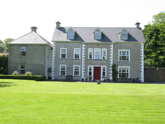 Castletown Conyerscountry house · 1057 yd
 Enclosure in Castletown (connello Upper By.)Enclosure · 1153 yd
 Church (in ruins)Church · 1326 yd
 Saint Derivla's WellSpring · 1.1 mi
 KnockfeerinaMountain / peak · 4.4 mi
 Famine stoneMemorial · 4.5 mi
 National Co-op MuseumMuseum · 6.1 mi
 Mullaghareirk - Banane LoopWalking route · 12 mi