What is recorded here
No visible fort, no stone wall, no broken tower. Only a faint edge in the grass, a shallow ditch, and a flat circle the land still remembers. What is missing is not emptiness. It is the difference between a thing that can be pointed at and a thing that must be imagined. The foramen is that difference made visible: a small chamber where the ordinary frame ends and the living field begins.
In undulating pasture. Originally circular area (diam. 37.5m N-S) now truncated on W side by N-S field boundary (interior now 31m E-W); otherwise enclosed by earthen bank (int. H 0.35m; ext. H 0.65m) with barely perceptible external fosse (D c. 0.1m; Wth c. 3m). Causeway entrance (Wth c. 5.5m) at NE. Interior level and under pasture.
Compiled by: Denis Power
Date of upload: 26 August 2011
The monument record does not grant public access. Check the route and ask the landowner before entering private land.
- What survives
- Recorded monument
Places near here
 Our Lady's WellSpring · 1131 yd
 Castle (in ruins)Castle, hall-house · 1155 yd
 IndicatedCastle, motte · 1189 yd
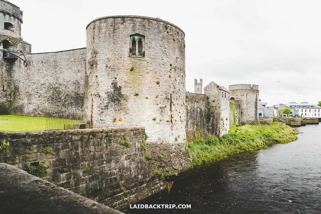 Cooreagh Fort - HachuredFairy fort / earthen ringfort · 1221 yd
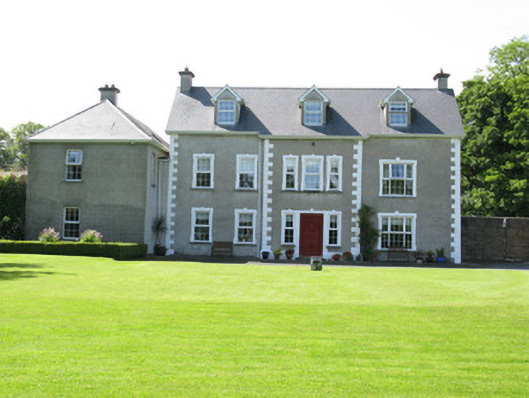 Castletown Conyerscountry house · 1258 yd
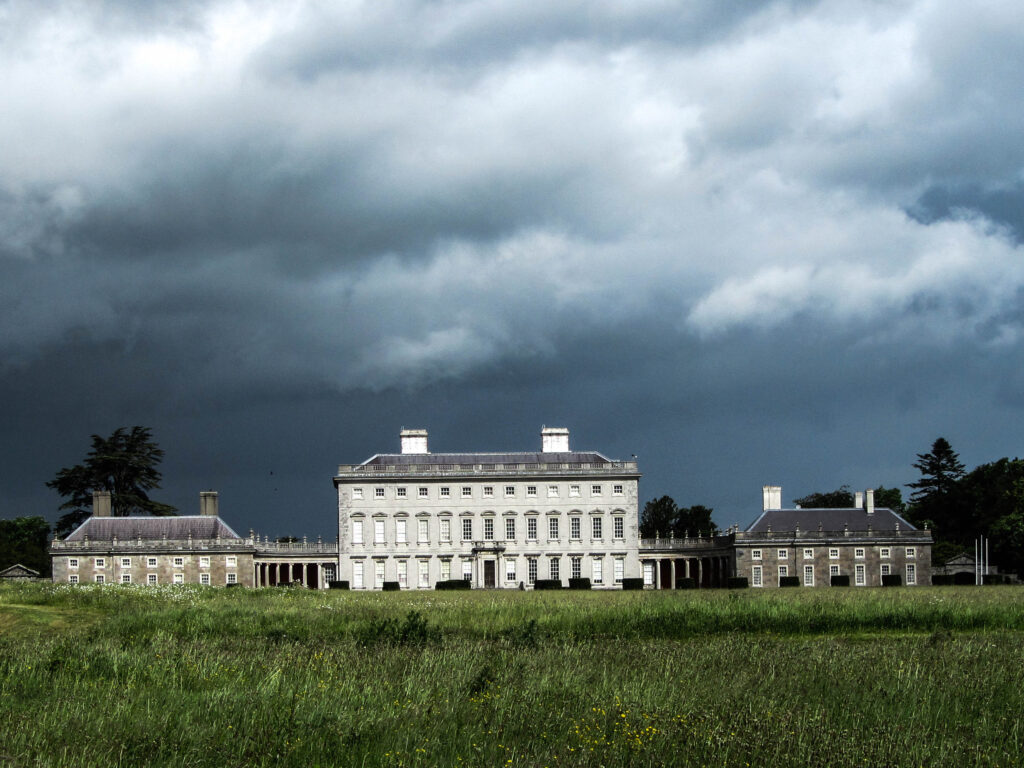 Enclosure in Castletown (connello Upper By.)Enclosure · 1457 yd
 Church (in ruins)Church · 1547 yd
 Saint Derivla's WellSpring · 1.4 mi
 Famine stoneMemorial · 4.5 mi
 KnockfeerinaMountain / peak · 4.5 mi
 National Co-op MuseumMuseum · 5.9 mi
 Mullaghareirk - Banane LoopWalking route · 12 mi